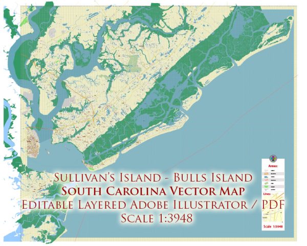
Sullivan’s Island, Dewees Island, Isle of Palms, and Bulls Island in South Carolina. Infrastructure information can change, and it’s recommended to check with local authorities or recent sources for the latest updates. Some general information about the infrastructure typically found in coastal and island communities.
- Transportation:
- Roads and Bridges: Islands usually have limited road access, and bridges are essential for connecting them to the mainland.
- Public Transportation: Islands may have limited public transportation options, and residents often rely on personal vehicles.
- Utilities:
- Water and Sewer Systems: These communities typically have water treatment and sewer systems, although the extent and efficiency may vary.
- Electricity: Power infrastructure is crucial, and underground power lines may be common in coastal areas to reduce vulnerability to storms.
- Emergency Services:
- Fire and Police Services: These services are essential for public safety, and the response strategies often take into account the unique challenges posed by island living.
- Emergency Evacuation Plans: Given the coastal location, there are likely emergency evacuation plans in place, especially in the face of hurricanes or severe weather events.
- Environmental Considerations:
- Stormwater Management: Coastal areas need effective stormwater management to prevent flooding, especially during heavy rainfall or storms.
- Environmental Conservation: Efforts may be in place to protect and preserve the natural environment, including beaches, dunes, and wildlife.
- Community Facilities:
- Schools: Educational facilities for residents, including schools, may be present.
- Healthcare Facilities: Access to healthcare services is crucial, and there may be medical facilities on the islands or nearby mainland.
- Recreation and Tourism:
- Parks and Recreation Areas: Coastal areas often have parks and recreational spaces for residents and tourists.
- Tourist Infrastructure: Given the scenic coastal location, there may be tourism-related infrastructure, such as hotels, restaurants, and recreational activities.
Remember, specific details can change, and it’s advisable to check with local authorities, government agencies, or recent sources for the most up-to-date information on the infrastructure of Sullivan’s Island, Dewees Island, Isle of Palms, and Bulls Island in South Carolina.
Vectormap.Net provide you with the most accurate and up-to-date vector maps in Adobe Illustrator, PDF and other formats, designed for editing and printing. Please read the vector map descriptions carefully.


 Author: Kirill Shrayber, Ph.D. FRGS