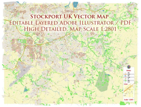
Stockport, located in Greater Manchester, United Kingdom, is known for its historic architecture, diverse neighborhoods, and connection to various waterways. Some of the principal waterways, bridges, and main streets in Stockport include:
- River Mersey:
- The River Mersey flows along the western edge of Stockport, defining part of its natural boundary. The river plays a significant role in the town’s history and geography.
- Stockport Viaduct:
- One of the most iconic landmarks in Stockport is the Stockport Viaduct. This red-brick viaduct is a key feature of the town, spanning the River Mersey and providing a stunning backdrop to the town center.
- Underbanks:
- Underbanks is a historic area in the town center known for its narrow cobbled streets and medieval architecture. It’s a charming part of Stockport with a mix of shops, cafes, and pubs.
- Bridgefield Street:
- This street is a central thoroughfare in Stockport, connecting different parts of the town. It features a range of shops and businesses, contributing to the vibrant atmosphere of Stockport.
- Market Place:
- Stockport’s Market Place is a hub of activity, hosting the indoor market and surrounded by shops, eateries, and historical buildings. The market is a great place to explore local produce and unique goods.
- Stockport Town Hall:
- Located in the heart of the town, Stockport Town Hall is an impressive Victorian building with distinctive architecture. It is often used for civic events and functions.
- Redrock Stockport:
- Redrock is a leisure and entertainment complex in Stockport, featuring a cinema, restaurants, and bars. It adds a modern touch to the town’s landscape.
- Grand Central:
- Grand Central is a shopping and leisure complex in Stockport, providing a mix of retail outlets, restaurants, and entertainment options.
- Merseyway Shopping Centre:
- Merseyway is a prominent shopping destination in Stockport, offering a variety of stores and services. It is centrally located and easily accessible.
- St. Peter’s Square:
- St. Peter’s Square is a public space in Stockport surrounded by historic buildings. It’s a place where people gather, and events occasionally take place.
These features contribute to Stockport’s character, combining historical elements with modern amenities to create a diverse and interesting townscape.
Vectormap.Net provide you with the most accurate and up-to-date vector maps in Adobe Illustrator, PDF and other formats, designed for editing and printing. Please read the vector map descriptions carefully.


 Author: Kirill Shrayber, Ph.D. FRGS