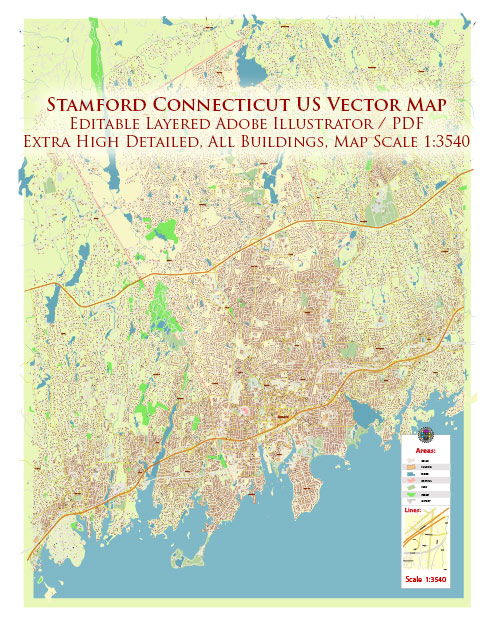
Stamford, Connecticut, is a city located in Fairfield County, situated on the Long Island Sound, a general overview of the city’s main waterways, bridges, and streets. Vectormap.Net provide you with the most accurate and up-to-date vector maps in Adobe Illustrator, PDF and other formats, designed for editing and printing. Please read the vector map descriptions carefully.
Waterways:
- Long Island Sound: Stamford is located along the Long Island Sound, providing the city with access to the water. The harbor area is vital for maritime activities and adds to the city’s scenic beauty.
Bridges:
- Merritt Parkway (Route 15): The Merritt Parkway crosses through Stamford and features several bridges over local roads and waterways.
- Interstate 95 (I-95): This major interstate highway runs through Stamford and has several bridges connecting different parts of the city.
Main Streets and Roads:
- Atlantic Street: This is a prominent street in downtown Stamford, known for its commercial establishments, offices, and accessibility.
- Washington Boulevard: Another important thoroughfare, Washington Boulevard is lined with businesses, restaurants, and is a key route through the city.
- Broad Street: Located in the heart of Stamford, Broad Street is home to various shops, dining options, and cultural attractions.
- Summer Street: This street is part of the downtown area and is known for its shopping and entertainment options.
- High Ridge Road: Running north-south, High Ridge Road is a major road that connects various neighborhoods and commercial areas.
- Bedford Street: This street is known for its vibrant nightlife, restaurants, and cultural venues.
It’s important to check for any updates or changes to the city’s infrastructure, as these details may evolve over time. Local municipal websites, maps, or navigation apps can provide the most current and accurate information on Stamford’s waterways, bridges, and streets.


 Author: Kirill Shrayber, Ph.D. FRGS