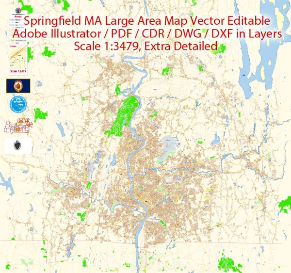
A general overview of Springfield, Massachusetts, including its principal waterways, bridges, main streets, and roads. Vectormap.Net provide you with the most accurate and up-to-date vector maps in Adobe Illustrator, PDF and other formats, designed for editing and printing. Please read the vector map descriptions carefully.
Waterways:
- Connecticut River: Springfield is located on the eastern bank of the Connecticut River, one of the longest rivers in the United States.
Bridges:
- Memorial Bridge: Connects Springfield, Massachusetts, to West Springfield, spanning the Connecticut River. It is a historic bridge with a significant role in the local transportation system.
Main Streets and Roads:
- Main Street: This is a central thoroughfare in Springfield, hosting various businesses, cultural institutions, and government buildings.
- State Street: Another important street in Springfield, known for its commercial and civic activities.
- I-91 and I-291: Interstate 91 runs north-south through Springfield, providing a major transportation route. Interstate 291 loops around the city, connecting I-91 with other major roads.
- Route 20 (Boston Road): A major east-west route passing through Springfield.
- Route 5 (Riverdale Street): Running north-south, this route is significant for local and regional traffic.
- A1A (West Columbus Avenue): A notable route that connects various parts of Springfield.
- East Columbus Avenue: Another key avenue in the city, often used for transportation and commercial activities.
Please note that Springfield has an extensive network of streets and roads, and the ones mentioned here are just some of the main arteries. The city’s infrastructure may have evolved, and new developments may have occurred since my last update. For the most accurate and up-to-date information, you should refer to local maps, navigation systems, or contact local authorities.


 Author: Kirill Shrayber, Ph.D.