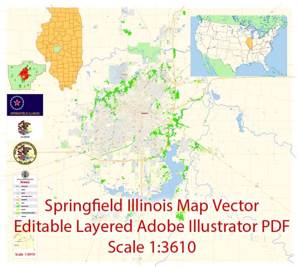
Springfield, Illinois, a general information based on historical knowledge.
Vectormap.Net provide you with the most accurate and up-to-date vector maps in Adobe Illustrator, PDF and other formats, designed for editing and printing. Please read the vector map descriptions carefully.
Waterways:
- Sangamon River: The Sangamon River is a principal waterway in the Springfield area. It flows through the city and is a tributary of the Illinois River.
Bridges:
- Adams Street Bridge: This is a notable bridge in Springfield, crossing the Sangamon River. It’s a key structure for transportation within the city.
- Jefferson Street Bridge: Another important bridge spanning the Sangamon River, contributing to the city’s connectivity.
Main Streets:
- Capitol Avenue: This is a significant street in Springfield, known for its proximity to the Illinois State Capitol building.
- Washington Street: Another major street in the city, likely hosting various businesses, institutions, and residential areas.
- Monroe Street: Monroe Street is also likely to be one of the main streets in Springfield, contributing to the overall transportation network.
Please note that the details may have changed since my last update, and for the most accurate and current information, you may want to consult local maps, city planning documents, or contact the city’s public works department. Additionally, new developments or changes in infrastructure may have occurred since my last update.


 Author: Kirill Shrayber, Ph.D. FRGS