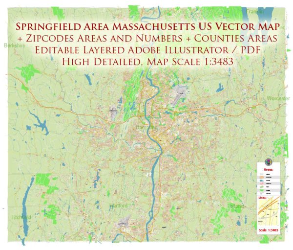
A general overview of the Springfield area in Massachusetts, including its principal waterways, bridges, and main streets and roads. Vectormap.Net provide you with the most accurate and up-to-date vector maps in Adobe Illustrator, PDF and other formats, designed for editing and printing. Please read the vector map descriptions carefully.
Waterways:
- Connecticut River: The Connecticut River flows through Springfield, and it is one of the major waterways in the region.
Bridges:
- North End Bridge: Also known as the Calvin Coolidge Bridge, it spans the Connecticut River and connects Northampton to Hadley on the eastern side.
Main Streets and Roads:
- Interstate 91 (I-91): A major north-south interstate highway that passes through Springfield. It provides a crucial transportation route in the region.
- Interstate 291 (I-291): An auxiliary interstate highway that encircles downtown Springfield, connecting I-91 to the Massachusetts Turnpike (I-90).
- Massachusetts Turnpike (I-90): This east-west toll highway passes through the southern part of Springfield, providing a connection to Boston and Albany.
- U.S. Route 5: This route runs parallel to the Connecticut River, passing through Springfield and providing a north-south connection in the region.
- State Route 147: This route runs through Springfield and connects the city to neighboring communities.
- State Route 116: Connecting Springfield to nearby towns, this route serves as a north-south road in the area.
- Boston Road (U.S. Route 20): A significant east-west road that passes through Springfield, connecting the city to Worcester and Boston.
- State Street and Main Street: These are key streets in downtown Springfield, hosting businesses, government buildings, and cultural institutions.
It’s important to note that Springfield is a city with a network of streets and roads, so the mentioned ones are just a selection of the major routes. For the most accurate and up-to-date information, consider checking with local authorities, maps, or navigation apps.


 Author: Kirill Shrayber, Ph.D. FRGS