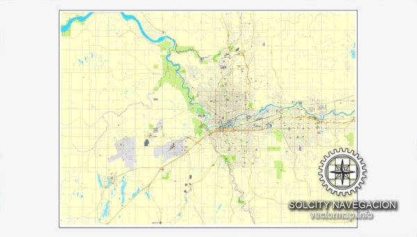
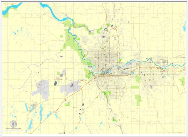
A general description of the principal roads and railroads in the Spokane, Washington area. Vectormap.Net provide you with the most accurate and up-to-date vector maps in Adobe Illustrator, PDF and other formats, designed for editing and printing. Please read the vector map descriptions carefully.
Principal Roads:
- Interstate 90 (I-90): This major east-west highway connects Seattle on the west side of Washington to the Idaho state line to the east, passing through Spokane. It is a key transportation route for both local and long-distance travel.
- U.S. Route 2 (US-2): This highway runs east-west and passes through Spokane. It serves as an important route for both local and regional traffic.
- U.S. Route 395 (US-395): Running from the Canadian border to the southern part of California, US-395 passes through Spokane, providing a north-south route for transportation.
- State Route 291 (SR-291): This state highway connects Spokane to the northern part of the region, providing access to recreational areas and smaller communities.
- Division Street (US-2/US-395): Division Street is a major north-south road in Spokane, serving as a key commercial corridor with various businesses and services.
- Maple Street Bridge and Monroe Street Bridge: These are two significant bridges that cross the Spokane River, connecting different parts of the city.
Railroads:
- Union Pacific Railroad: The Union Pacific mainline runs through Spokane. Union Pacific is one of the major Class I railroads in the United States, and its tracks in Spokane are part of the extensive national rail network.
- BNSF Railway: BNSF Railway also has a presence in Spokane. This major freight railroad operates across much of North America.
- Spokane International Airport Railroad: This short-line railroad serves the Spokane International Airport and connects to the main rail network.
Spokane has historically been an important transportation hub due to its location, and the road and rail infrastructure plays a crucial role in supporting both local and regional economic activities.
For the most current and detailed information, it’s recommended to check with local transportation authorities, such as the Washington State Department of Transportation (WSDOT) or city planning departments.


 Author: Kirill Shrayber, Ph.D.