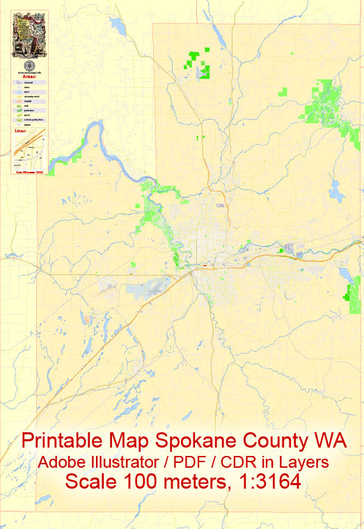
Some general information about Spokane County and Spokane City in Washington, including their principal waterways, bridges, and main streets. Vectormap.Net provide you with the most accurate and up-to-date vector maps in Adobe Illustrator, PDF and other formats, designed for editing and printing. Please read the vector map descriptions carefully.
Spokane County:
- Principal Waterways:
- The Spokane River is a significant waterway flowing through Spokane County. It runs through Spokane and offers recreational opportunities.
- Bridges:
- Monroe Street Bridge: An iconic bridge spanning the Spokane River, connecting downtown Spokane to the north bank.
- Division Street Bridge: Another important bridge crossing the Spokane River and connecting different parts of the city.
- Main Streets:
- Riverside Avenue: Runs through downtown Spokane and is home to various shops, restaurants, and businesses.
- Division Street: A major north-south thoroughfare that traverses Spokane County.
Spokane City:
- Principal Waterways:
- Spokane River: Flows through the heart of the city, providing scenic views and recreational opportunities. Riverfront Park is located along the river.
- Bridges:
- Monroe Street Bridge: Historic bridge connecting downtown Spokane to the north bank.
- Division Street Bridge: A key bridge for north-south transportation over the Spokane River.
- Main Streets:
- Riverside Avenue: Features a mix of commercial and cultural establishments, including theaters and museums.
- Division Street: One of the main north-south corridors through the city, accommodating various businesses and services.
It’s important to check for any updates or changes to infrastructure and urban planning, as cities can undergo developments and improvements over time. Local government websites, city planning departments, or recent maps may provide the most current information.


 Author: Kirill Shrayber, Ph.D. FRGS