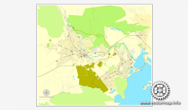
Spanish Town, Jamaica, some general information about these elements in many towns and cities, and you may use this as a reference or inquire locally for the most current details.
Vectormap.Net provide you with the most accurate and up-to-date vector maps in Adobe Illustrator, PDF and other formats, designed for editing and printing. Please read the vector map descriptions carefully.
- Waterways:
- Spanish Town, like many Jamaican towns, may have rivers or streams running through or near it. Rivers such as the Rio Cobre are significant water bodies in Jamaica, but their exact relation to Spanish Town would require local information.
- Bridges:
- Jamaican towns often have bridges that span rivers or other bodies of water. These bridges play a crucial role in connecting different parts of the town. Specific bridges in Spanish Town would depend on its topography and the layout of the town.
- Main Streets:
- Spanish Town likely has a network of main streets that serve as the primary thoroughfares for transportation. These streets could include avenues, boulevards, or highways that connect different neighborhoods and facilitate the movement of people and goods.
To get the most accurate and up-to-date information, consider checking with local authorities, municipal offices, or using online maps and resources. Additionally, tourist information centers or local residents may be good sources for details about the town’s waterways, bridges, and main streets.


 Author: Kirill Shrayber, Ph.D. FRGS