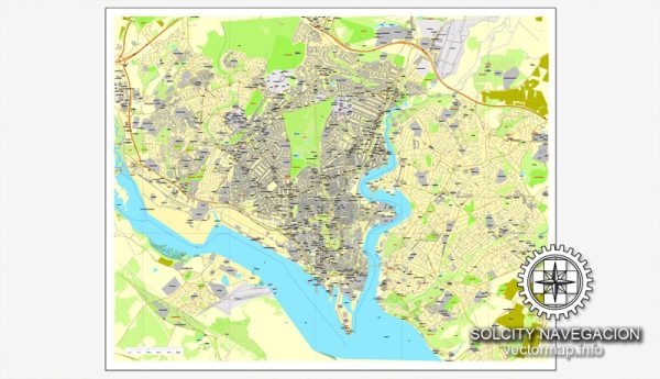
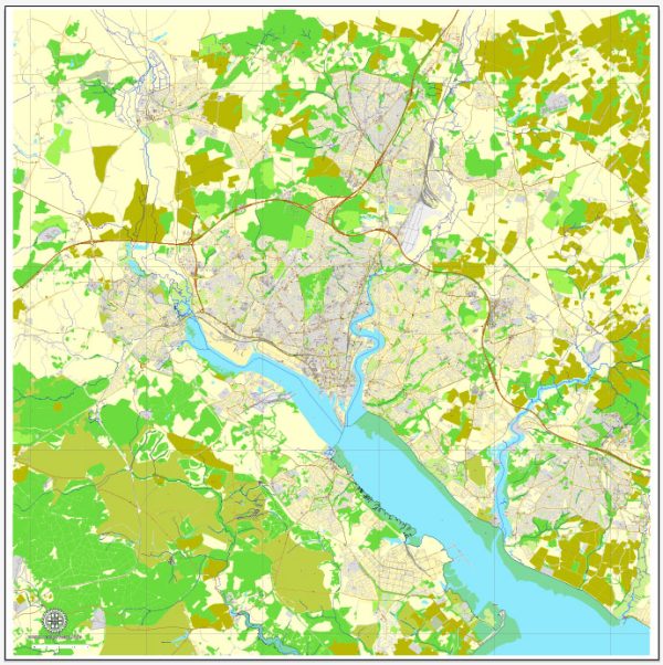
Southampton, a port city on the south coast of England, is known for its maritime history and vibrant cultural scene. Here’s an overview of some of the principal waterways, bridges, main streets, and roads in Southampton:
- Waterways:
- River Test: The River Test flows through Southampton, providing a natural waterway. It is known for its clear waters and diverse wildlife.
- Ocean Village Marina: Located on the River Itchen, Ocean Village Marina is a modern marina with shops, restaurants, and residential developments.
- Bridges:
- Itchen Bridge: This bridge spans the River Itchen, connecting the eastern and western parts of Southampton. It is a major route for both vehicles and pedestrians.
- Northam Bridge: Crossing the River Test, the Northam Bridge is another important crossing in the city.
- Main Streets:
- High Street: The High Street is one of the main shopping streets in Southampton, lined with shops, cafes, and historic buildings.
- Above Bar Street: This street is known for its retail shops, restaurants, and is a popular destination for shopping and leisure.
- Oxford Street: Famous for its independent boutiques, cafes, and pubs, Oxford Street is a charming area with a maritime atmosphere.
- Main Roads:
- M27 Motorway: The M27 is a major motorway that connects Southampton to other cities in the region, including Portsmouth and Winchester.
- A33: Running through the city, the A33 is an important road connecting Southampton to the M3 motorway and providing access to the city center.
- West Quay Road: This road leads to the Westquay Shopping Centre, one of the largest shopping malls in Southampton.
- Docks:
- Southampton Docks: As one of the UK’s major ports, Southampton Docks play a crucial role in maritime trade and are known for their cruise ship terminals. The docks are a hub for ferry services, cargo shipping, and cruise vacations.
- Cultural and Historical Sites:
- Old Town: Southampton’s Old Town is characterized by medieval architecture, including the Bargate, a historic gatehouse that once guarded the entrance to the town.
- Tudor House and Garden: A historic house dating back to the 15th century, Tudor House provides a glimpse into Southampton’s past.
These features contribute to the diverse and dynamic character of Southampton, blending its maritime heritage with modern amenities and cultural attractions. Vectormap.Net provide you with the most accurate and up-to-date vector maps in Adobe Illustrator, PDF and other formats, designed for editing and printing. Please read the vector map descriptions carefully.


 Author: Kirill Shrayber, Ph.D. FRGS