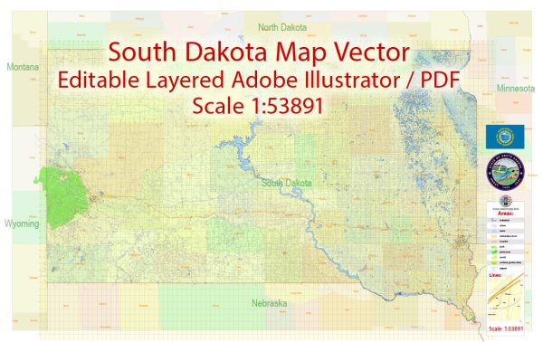
South Dakota is a state located in the Midwestern region of the United States. Vectormap.Net provide you with the most accurate and up-to-date vector maps in Adobe Illustrator, PDF and other formats, designed for editing and printing. Please read the vector map descriptions carefully. Here is a general overview of some principal cities, waterways, and main roads in South Dakota:
Principal Cities:
- Sioux Falls:
- Largest city in South Dakota.
- Located in the southeastern part of the state.
- Major economic and cultural hub.
- Rapid City:
- Located in the western part of the state, near the Black Hills.
- Gateway to Mount Rushmore National Memorial.
- Aberdeen:
- Located in the northeastern part of South Dakota.
- Known for its agriculture and healthcare industries.
- Brookings:
- Home to South Dakota State University.
- Located in the eastern part of the state.
- Watertown:
- Located in the northeastern part of South Dakota.
- Known for its outdoor recreational activities.
Waterways:
- Missouri River:
- Forms the eastern border of the state.
- One of the longest rivers in North America.
- Big Sioux River:
- Flows through the eastern part of the state.
- Contributes to the Missouri River.
- Cheyenne River:
- Flows through the western part of the state.
- A tributary of the Missouri River.
Main Roads:
- Interstate Highways:
- I-90: Crosses the state from the west to the east, connecting Rapid City and Sioux Falls.
- I-29: Runs along the eastern border, connecting Sioux Falls to North Dakota.
- U.S. Highways:
- U.S. 12: Runs east-west through the northern part of the state.
- U.S. 14: Connects the eastern and western parts of the state.
- U.S. 81: Runs north-south, connecting major cities in the eastern part of the state.
- State Highways:
- South Dakota has an extensive network of state highways connecting various cities and towns.
- Notable state highways include SD-34, SD-37, and SD-44.
It’s important to check for updates from local sources or online maps for the most current information regarding cities, waterways, and roads in South Dakota.


 Author: Kirill Shrayber, Ph.D. FRGS