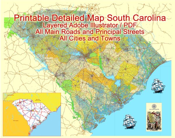
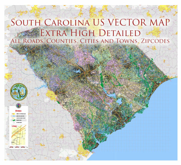
South Carolina is a southeastern state in the United States with a diverse geography that includes coastal areas, rivers, and a mix of urban and rural regions. Here’s a description of some of the principal cities, waterways, and main roads in South Carolina:
Principal Cities:
- Columbia:
- The state capital and largest city.
- Home to the University of South Carolina.
- Rich in history, with landmarks such as the State House and the Riverbanks Zoo.
- Charleston:
- Historic city known for its well-preserved architecture.
- Features cobblestone streets, antebellum mansions, and historic plantations.
- Popular tourist destination with a vibrant cultural scene.
- Greenville:
- Located in the Upstate region.
- Known for its picturesque downtown, parks, and the Swamp Rabbit Trail.
- Growing economy and a hub for business and technology.
- Myrtle Beach:
- Coastal city known for its sandy beaches and entertainment options.
- A major tourist destination with resorts, golf courses, and a lively boardwalk.
- Charleston:
- Located in the Lowcountry region.
- Famous for its historic district, gardens, and Southern charm.
- Hosts the annual Spoleto Festival USA.
Waterways:
- Atlantic Ocean:
- Forms the eastern border of the state, providing access to coastal cities and recreation.
- Savannah River:
- Marks part of the western border with Georgia.
- Important for commerce and transportation.
- Congaree River:
- Flows through Columbia and is known for the Congaree National Park, a designated wilderness area.
- Ashley River and Cooper River:
- Flank Charleston and contribute to its historic ambiance.
Main Roads:
- Interstate 26 (I-26):
- Connects Charleston to Columbia and continues into other states.
- Interstate 85 (I-85):
- Runs through the Upstate, connecting South Carolina to Charlotte and Atlanta.
- Interstate 20 (I-20):
- Crosses the state, connecting Columbia to Augusta, Georgia, and beyond.
- U.S. Route 17 (US 17):
- Coastal highway running parallel to the Atlantic Ocean, passing through Charleston.
- U.S. Route 1 (US 1):
- Runs north-south through the state, passing through Columbia.
- South Carolina Highway 31 (SC 31):
- Known as the Carolina Bays Parkway, providing a bypass route along the coast.
These cities, waterways, and main roads contribute to the cultural, economic, and recreational diversity of South Carolina. The state’s combination of historical significance and natural beauty makes it a compelling destination for residents and visitors alike.


 Author: Kirill Shrayber, Ph.D. FRGS