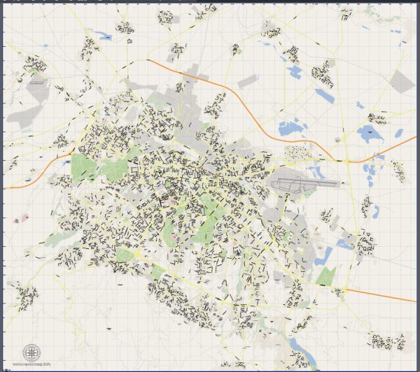
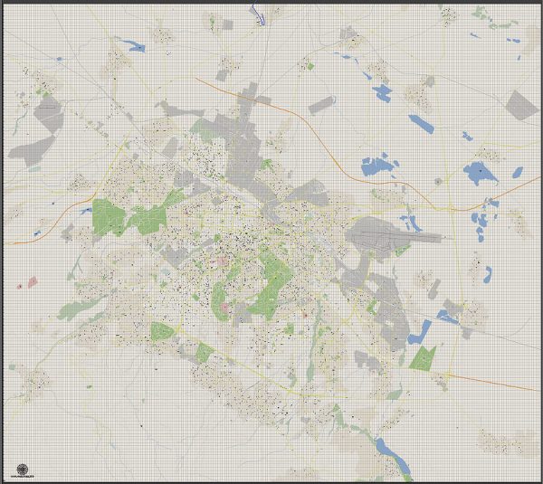
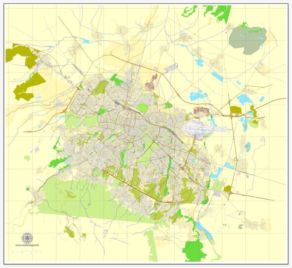
Information about Sofia, Bulgaria’s principal waterways, bridges, and main streets. Vectormap.Net provide you with the most accurate and up-to-date vector maps in Adobe Illustrator, PDF and other formats, designed for editing and printing. Please read the vector map descriptions carefully.
Waterways: Sofia is not known for its extensive waterways, as it is situated in a mountainous region. The Perlovska and Vladayska rivers flow through the city, but they are relatively small. Sofia relies more on groundwater sources for its water supply.
Bridges: Sofia has several bridges connecting different parts of the city. Some notable bridges include:
- Eagles’ Bridge (Orlov Most): This is one of the iconic landmarks in Sofia, named after the four bronze eagles perched on pedestals at each corner of the bridge.
- Lions’ Bridge (Lavov Most): Another significant bridge in the city, adorned with lion sculptures, it spans the Vladayska River.
- Vitosha Bridge: Connecting the city center with the southern parts of Sofia, it is an important transportation route.
Main Streets: Sofia has a network of streets that traverse the city, and some of the main ones include:
- Vitosha Boulevard: This is one of the central and most famous streets in Sofia, known for its shops, cafes, and vibrant atmosphere.
- Tsarigradsko Shose: A major thoroughfare that connects the city center with the eastern parts of Sofia, it is also an important transportation route.
- Bulgaria Boulevard: Running through the city, this boulevard is significant for both residential and commercial purposes.
- Rakovska Street: Located in the city center, Rakovska Street is known for its theaters, galleries, and cultural institutions.
- Graf Ignatiev Street: Another central street with shops, cafes, and a lively atmosphere, often bustling with pedestrians.
Please note that urban development and infrastructure can change, so it’s a good idea to check for the latest information or updates from local sources for the most accurate and current details.


 Author: Kirill Shrayber, Ph.D. FRGS