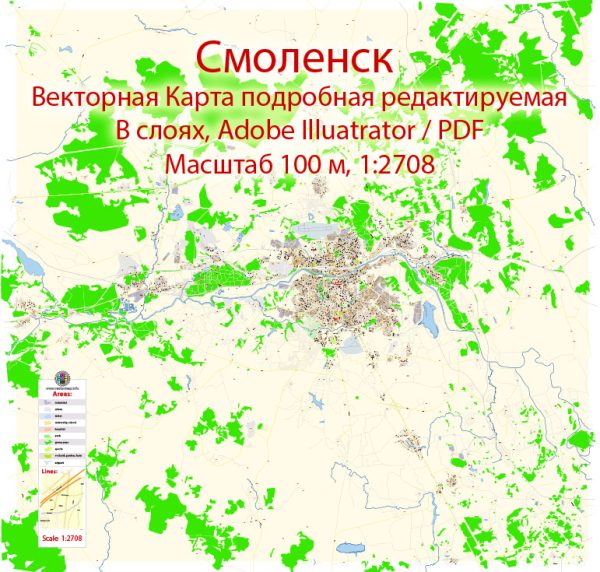
Smolensk, Russia, some general information about the city based on historical data. Vectormap.Net provide you with the most accurate and up-to-date vector maps in Adobe Illustrator, PDF and other formats, designed for editing and printing. Please read the vector map descriptions carefully.
- Waterways:
- The Dnieper River is one of the major waterways near Smolensk. It flows to the south of the city and has played a significant role in the region’s history.
- Bridges:
- Smolensk features several bridges that span the various rivers and water bodies in the area. The specifics of these bridges, such as their names and designs, would need to be obtained from more recent local sources or maps.
- Main Streets:
- Smolensk has a network of streets that connect different parts of the city. Lenina Street and Karl Marx Street are examples of main streets that run through the city center, but the prominence of streets may have changed since my last update.
For the most accurate and current information about Smolensk’s waterways, bridges, and main streets, I recommend checking with local authorities, maps, or online resources. Local tourism websites, city planning offices, or municipal websites may provide detailed information about the city’s infrastructure and geography. Additionally, updated maps and navigation apps can offer real-time details on streets and landmarks.


 Author: Kirill Shrayber, Ph.D. FRGS