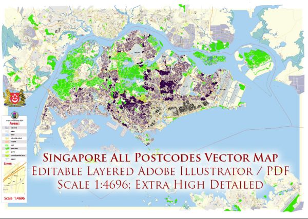
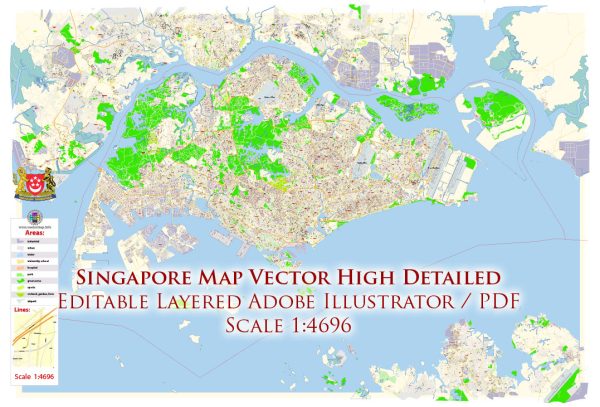
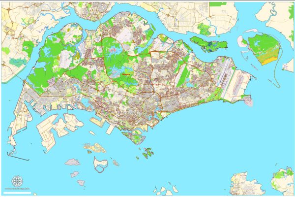
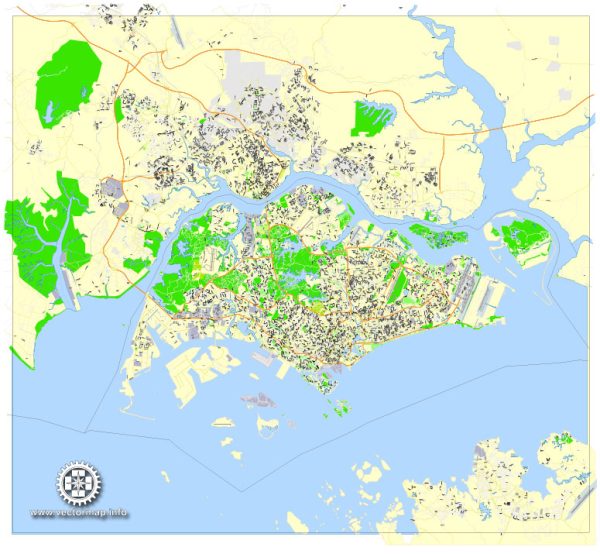
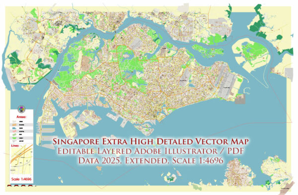
A general overview of some of Singapore’s principal waterways, bridges, and main streets. Vectormap.Net provide you with the most accurate and up-to-date vector maps in Adobe Illustrator, PDF and other formats, designed for editing and printing. Please read the vector map descriptions carefully.
Principal Waterways:
- Singapore River: Running through the heart of the city, the Singapore River has been a vital waterway in the country’s history. It is surrounded by key landmarks and attractions.
- Kallang River: This river flows through several residential and industrial areas, and the Kallang Riverside Park is situated along its banks.
- Rochor Canal: A canal that has been an essential part of Singapore’s drainage system, helping manage water flow in the city.
Bridges:
- Esplanade Bridge: Connecting Marina Centre with the historic Civic District, offering panoramic views of the city’s skyline.
- Anderson Bridge: A historic bridge near the Fullerton Hotel, providing access between the Civic District and Marina Bay.
- Benjamin Sheares Bridge: Spanning across the Marina Bay, it is one of the longest bridges in Singapore, connecting Marina Centre with the Marina East area.
Main Streets:
- Orchard Road: Known as Singapore’s premier shopping street, Orchard Road is lined with upscale malls, boutiques, and department stores.
- Nathan Road: Located in the River Valley area, Nathan Road is a major thoroughfare with a mix of residential and commercial properties.
- Shenton Way: A financial and business district, Shenton Way is lined with skyscrapers housing offices of major financial institutions and companies.
- Chinatown: While not a single street, Chinatown is a vibrant district with narrow streets filled with shops, markets, and eateries.
- Little India: Similar to Chinatown, Little India is a cultural district with a mix of narrow streets offering a variety of Indian goods, spices, and cuisine.
Please note that developments and urban planning may have changed the landscape, and it’s advisable to check the latest maps and resources for the most accurate and up-to-date information.

 Author: Kirill Shrayber, Ph.D. FRGS