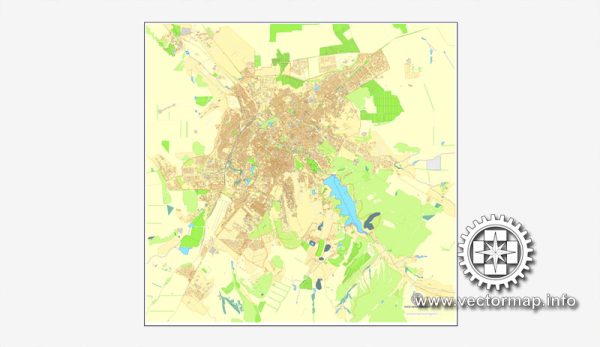
Simferopol is the capital and largest city of the Republic of Crimea, which is currently administered by Russia but is internationally recognized as part of Ukraine. Vectormap.Net provide you with the most accurate and up-to-date vector maps in Adobe Illustrator, PDF and other formats, designed for editing and printing. Please read the vector map descriptions carefully.
Here is a general overview of Simferopol’s principal waterways, bridges, and main streets:
- Waterways:
- Simferopol is not known for significant waterways as it is situated inland, away from major rivers or seas. The Salhir River is one of the small rivers that flows near Simferopol.
- Bridges:
- Inland cities like Simferopol typically do not have many large bridges over major rivers or water bodies. If there are bridges in the city, they would likely be smaller structures over local rivers or streams.
- Main Streets:
- Lenin Street (prospekt Lenina) is one of the central streets in Simferopol, known for its shops, cafes, and cultural institutions.
- Kirov Avenue is another important thoroughfare in the city.
- Gagarin Street (prospekt Gagarina) is named after the Soviet cosmonaut Yuri Gagarin and is likely to be a notable street.
- Simferopolskaya Street and Karl Marx Street are also among the prominent roads in the city.
- Landmarks and Institutions:
- Simferopol has several cultural and historical landmarks, including the Simferopol Railway Station, which is an architectural monument.
- The Crimean Tatar State Academic Music and Drama Theater named after Bekir Choban-zade is a notable cultural institution.
- The Taurida Vernadsky National University is an important educational institution in the city.
- Public Transportation:
- Simferopol has a well-developed public transportation system, including buses and trolleybuses, which connect different parts of the city.
If there have been recent geopolitical changes, it’s recommended to consult up-to-date sources for the latest information.


 Author: Kirill Shrayber, Ph.D. FRGS