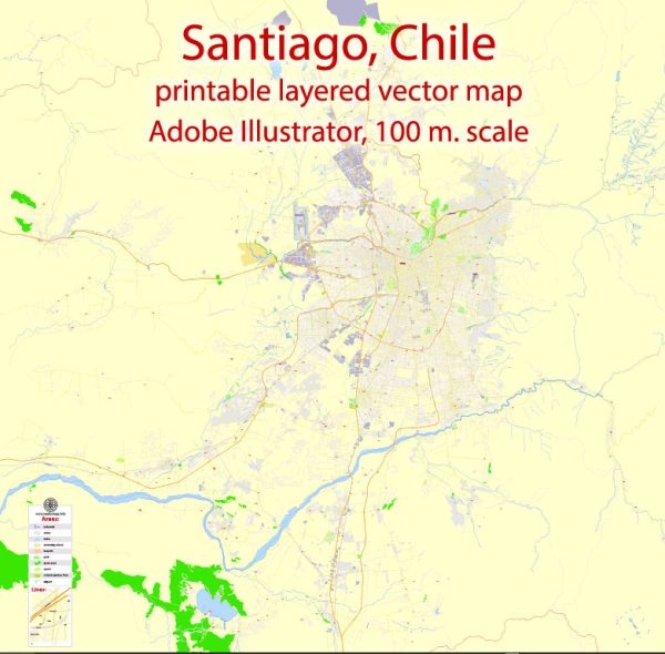
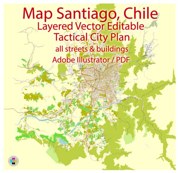
A general overview of Santiago, Chile’s principal waterways, bridges, and main streets. Vectormap.Net provide you with the most accurate and up-to-date vector maps in Adobe Illustrator, PDF and other formats, designed for editing and printing. Please read the vector map descriptions carefully.
Waterways: Santiago is situated in the central part of Chile, in the Santiago Basin. The Mapocho River is the main waterway that runs through the city. The river flows from the Andes Mountains, cutting through Santiago before eventually joining the Maipo River. The Mapocho River has several parks and walkways along its banks, providing recreational spaces for residents and visitors.
Bridges: Several bridges span the Mapocho River, connecting different parts of Santiago. Some notable bridges include:
- Puente Cal y Canto: This bridge is located in the heart of Santiago and connects the historic district with the modern part of the city.
- Puente Pedro de Valdivia: Another important bridge, it connects Providencia and Ñuñoa, two residential and commercial districts.
- Puente La Concepción: Located in the eastern part of the city, this bridge connects neighborhoods like Las Condes and Vitacura.
Main Streets: Santiago has a grid-like layout with a mix of narrow historic streets and wider modern avenues. Some of the main streets include:
- Alameda del Libertador Bernardo O’Higgins: Commonly known as “La Alameda,” this is one of the main avenues in Santiago. It runs east-west and is a central hub for commerce, transportation, and cultural institutions.
- Providencia Avenue: Located in the Providencia district, this avenue is known for its shops, restaurants, and office buildings.
- Apoquindo Avenue: This major avenue runs through the eastern part of Santiago, particularly through the financial and commercial district of Las Condes.
- Vicuña Mackenna Avenue: Named after a prominent Chilean political figure, this avenue runs through several neighborhoods, serving as a vital transportation route.


 Author: Kirill Shrayber, Ph.D. FRGS