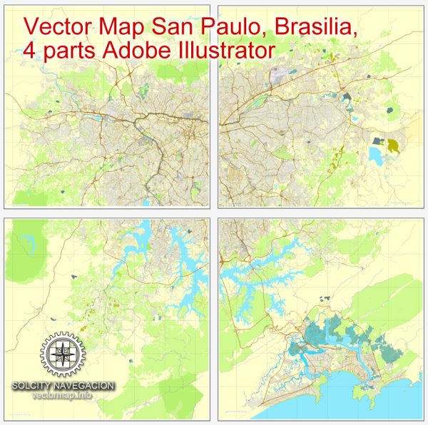
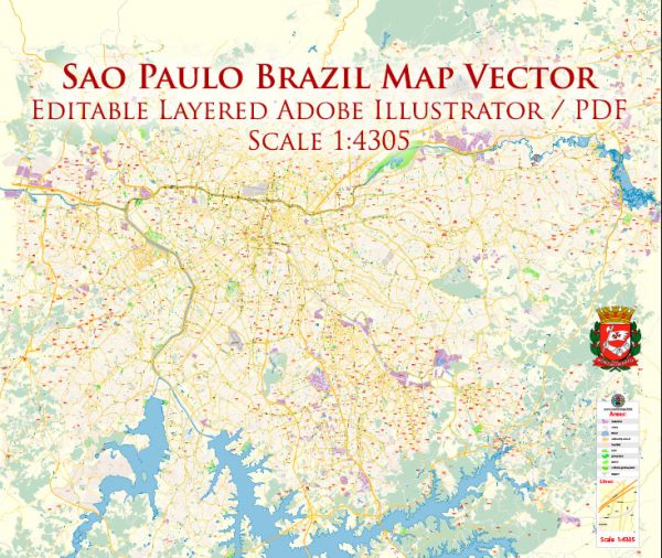
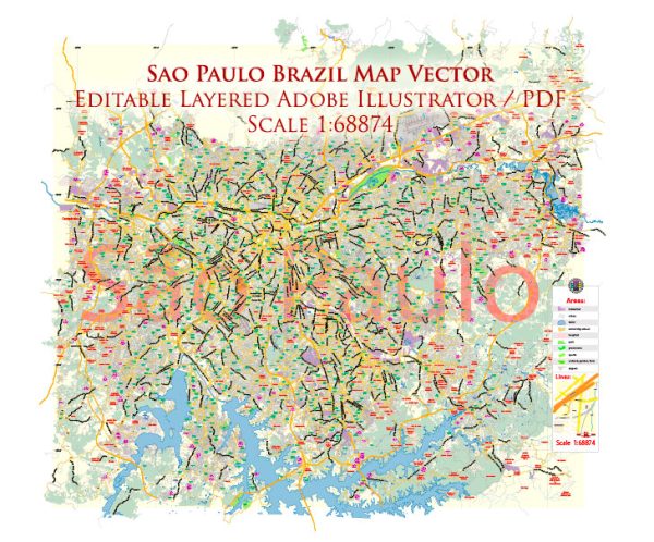
São Paulo, being an inland city, does not have significant navigable waterways, but it does have notable bridges and a complex network of main streets and avenues.
Vectormap.Net provide you with the most accurate and up-to-date vector maps in Adobe Illustrator, PDF and other formats, designed for editing and printing. Please read the vector map descriptions carefully.
Bridges:
- Octavio Frias de Oliveira Bridge (Ponte Estaiada): One of São Paulo’s iconic landmarks, this cable-stayed bridge is known for its unique X-shaped design. It spans the Pinheiros River and serves as both a transportation route and a symbol of modern architecture.
- Ponte das Bandeiras: Crossing the Tietê River, this historic bridge is characterized by its classical arch design. It is an important connection between the northern and central parts of the city.
Main Streets and Avenues:
- Avenida Paulista: Perhaps the most famous avenue in São Paulo, Avenida Paulista is a major financial and cultural hub. Lined with skyscrapers, cultural institutions, and shopping centers, it is a bustling center of activity.
- Avenida 23 de Maio: This avenue runs along the eastern part of the city and is known for its scenic views and parks. It connects the city center to the southern districts.
- Avenida Brigadeiro Faria Lima: Located in the heart of the city, this avenue is a major business and financial center. It is lined with office buildings, shopping malls, and restaurants.
- Marginal Tietê: Although more of an expressway than a traditional street, Marginal Tietê is a critical transportation route that runs along the Tietê River, serving as a major traffic artery for the city.
- Rua Augusta: This street is known for its vibrant nightlife, theaters, and cultural venues. It connects the neighborhoods of Jardins and Consolação.
- Rua 25 de Março: A bustling commercial street in the historic center of São Paulo, known for its numerous shops and markets, offering a wide range of products.
São Paulo’s road network is extensive and can be complex due to its size and urban development. These mentioned waterways, bridges, streets, and avenues are just a few examples of the key features that contribute to São Paulo’s dynamic urban landscape.


 Author: Kirill Shrayber, Ph.D. FRGS