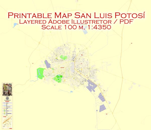
Some general information about San Luis Potosi’s waterways, bridges, and main streets. Vectormap.Net provide you with the most accurate and up-to-date vector maps in Adobe Illustrator, PDF and other formats, designed for editing and printing. Please read the vector map descriptions carefully.
Waterways: San Luis Potosi is not known for major navigable waterways. However, like many cities, it may have rivers or smaller water bodies that contribute to its overall landscape.
Bridges: San Luis Potosi may have several bridges, with some notable ones spanning over rivers or connecting different parts of the city. Specific information about these bridges, such as their names and locations, can be obtained from local authorities or updated maps.
Main Streets: The city is likely to have a network of main streets and avenues that serve as key transportation arteries. Some of these may include:
- Avenida Carranza
- Avenida Salvador Nava
- Avenida Venustiano Carranza
- Avenida Himno Nacional
- Avenida Juarez
Again, the specific details and importance of these streets may vary, and it’s recommended to consult local sources or maps for the most accurate and up-to-date information.
For the latest details on San Luis Potosi’s waterways, bridges, and main streets, you may want to check with the municipal government, local transportation authorities, or use online mapping services that provide real-time information.


 Author: Kirill Shrayber, Ph.D. FRGS