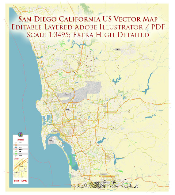
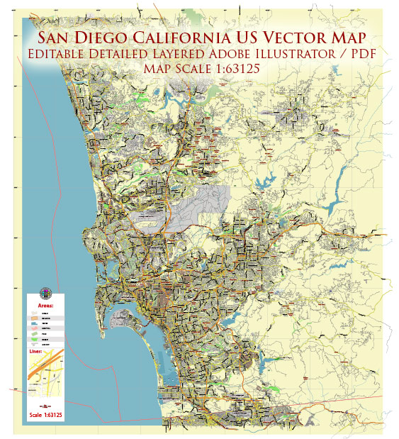
San Diego, California, is a vibrant city located in the southwestern part of the United States, known for its beautiful landscapes, diverse neighborhoods, and a variety of waterways. Here is a brief description of some principal waterways, bridges, and main streets in San Diego:
Waterways:
- San Diego Bay:
- San Diego Bay is a natural harbor that provides a stunning backdrop to the city skyline.
- It is a deepwater port and a hub for maritime activities.
- The bay is home to Navy installations, the famous USS Midway Museum, and various waterfront attractions.
- Mission Bay:
- Mission Bay is a large man-made aquatic park, offering water activities, parks, and recreational areas.
- It is the largest man-made aquatic park in the United States and includes islands, marinas, and miles of shoreline.
Bridges:
- Coronado Bridge:
- Connecting San Diego and Coronado Island, the Coronado Bridge is an iconic landmark with its distinctive curved design.
- The bridge offers breathtaking views of San Diego Bay and the city skyline.
- San Diego-Coronado Bay Bridge:
- Also known as the Coronado Bay Bridge, it spans the San Diego Bay, connecting downtown San Diego with Coronado.
- It is a vital transportation link in the region, providing a scenic route to the island.
Main Streets:
- Broadway:
- Broadway is a major east-west thoroughfare in downtown San Diego.
- It is lined with shops, restaurants, and theaters, making it a lively and central part of the city.
- Harbor Drive:
- Harbor Drive runs along the waterfront and offers stunning views of San Diego Bay.
- It is home to many popular attractions, including the Maritime Museum of San Diego and the Embarcadero Marina Park.
- Gaslamp Quarter:
- The Gaslamp Quarter is a historic district known for its nightlife, dining, and entertainment.
- Fifth Avenue is the main street in the Gaslamp Quarter, featuring Victorian-era buildings and a vibrant atmosphere.
- University Avenue:
- Running through diverse neighborhoods like North Park and Hillcrest, University Avenue is a major east-west thoroughfare.
- It is known for its eclectic mix of shops, restaurants, and cultural establishments.
- El Cajon Boulevard:
- Connecting various neighborhoods, including City Heights and North Park, El Cajon Boulevard is a notable east-west street.
- It features a mix of commercial and residential areas, showcasing the city’s diversity.
San Diego’s waterways, bridges, and main streets contribute to the city’s unique character, offering a blend of natural beauty, historic landmarks, and vibrant urban life.
Vectormap.Net provide you with the most accurate and up-to-date vector maps in Adobe Illustrator, PDF and other formats, designed for editing and printing. Please read the vector map descriptions carefully.


 Author: Kirill Shrayber, Ph.D. FRGS