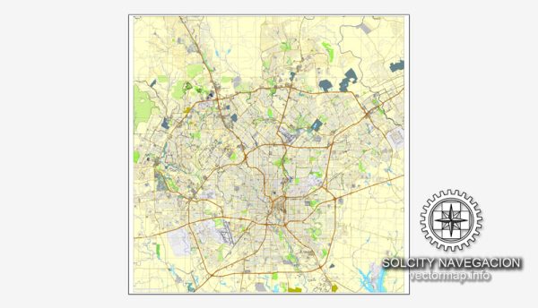
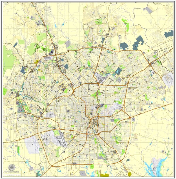
San Antonio, Texas, is a city with a rich cultural and historical heritage, and its layout is influenced by the convergence of various waterways and transportation routes. Here’s an overview of some of the principal waterways, bridges, and main streets in San Antonio:
Waterways:
- San Antonio River:
- The San Antonio River is a central feature, flowing through the heart of the city.
- The River Walk, a famous pedestrian promenade lined with shops and restaurants, follows the course of the San Antonio River.
- San Pedro Creek:
- San Pedro Creek is another significant waterway in San Antonio, contributing to the city’s historic landscape.
- The San Pedro Creek Culture Park showcases public art and cultural elements along its banks.
Bridges:
- Commerce Street Bridge:
- This bridge spans the San Antonio River and connects the downtown area to the historic La Villita district.
- Houston Street Bridge:
- Located in downtown San Antonio, this bridge crosses the San Antonio River and provides a connection to the popular Rivercenter Mall.
- Navarro Street Bridge:
- This bridge is situated near the Tobin Center for the Performing Arts and provides a picturesque view of the river.
Main Streets:
- Commerce Street:
- One of the primary thoroughfares in downtown San Antonio, Commerce Street is known for its historic buildings, shops, and vibrant atmosphere.
- Houston Street:
- Houston Street is a major downtown thoroughfare, hosting theaters, shops, and restaurants. The famous Majestic Theatre is located on Houston Street.
- Alamo Street:
- Running parallel to the San Antonio River, Alamo Street is home to the historic Alamo Mission, a key symbol of Texas history.
- Market Street:
- As the name suggests, Market Street is associated with market activities and is part of the historic Market Square, a vibrant area with shops and cultural events.
- St. Mary’s Street:
- St. Mary’s Street is known for its nightlife, entertainment venues, and access to the popular Pearl District.
San Antonio’s unique blend of history, culture, and modern amenities is reflected in its waterways, bridges, and main streets. The River Walk, in particular, stands out as a central hub for both locals and visitors, offering a picturesque setting for leisure and exploration.
Vectormap.Net provide you with the most accurate and up-to-date vector maps in Adobe Illustrator, PDF and other formats, designed for editing and printing. Please read the vector map descriptions carefully.


 Author: Kirill Shrayber, Ph.D. FRGS