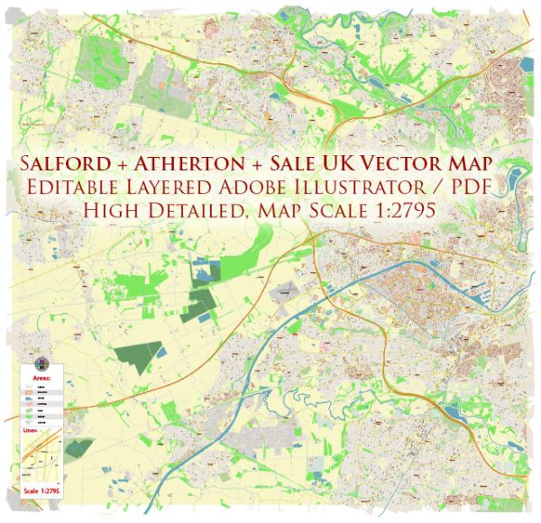
Some general information about the Salford area in the United Kingdom, focusing on its principal waterways, bridges, and main streets. Vectormap.Net provide you with the most accurate and up-to-date vector maps in Adobe Illustrator, PDF and other formats, designed for editing and printing. Please read the vector map descriptions carefully.
Waterways:
- River Irwell: The River Irwell flows through the Salford area, playing a significant role in the region’s geography. It has historically been an essential watercourse for transportation and trade.
Bridges:
- The Lowry Bridge: Officially known as the Salford Quays Millennium Footbridge, this distinctive bridge spans the Manchester Ship Canal, connecting Salford Quays to Trafford Wharfside.
- Trinity Bridge: This is a bascule bridge located at the heart of Salford Quays, providing a crossing for both pedestrians and cyclists.
- Blackfriars Bridge: An arched bridge over the River Irwell, connecting Salford to Manchester. It is an important river crossing in the area.
- MediaCityUK Footbridge: This is a pedestrian bridge connecting MediaCityUK to the Imperial War Museum North and spanning the Manchester Ship Canal.
Main Streets:
- Chapel Street: A major thoroughfare in Salford, Chapel Street runs through the city center and is known for its historical significance and mix of residential and commercial buildings.
- Regent Road: Another important road in Salford, Regent Road connects the city to the neighboring areas and is lined with various businesses and services.
- Liverpool Street: Located in the Ordsall district, Liverpool Street is a key street in Salford with a mix of residential and commercial properties.
- The Crescent: This is an iconic road in Salford, known for its historic buildings and green spaces. It runs near the University of Salford and the Crescent railway station.
Please keep in mind that urban landscapes can change, and new developments may have occurred since my last update. If you need the most current and detailed information, I recommend checking with local authorities, city planning offices, or online mapping services for the latest updates on waterways, bridges, and main streets in the Salford area.


 Author: Kirill Shrayber, Ph.D. FRGS