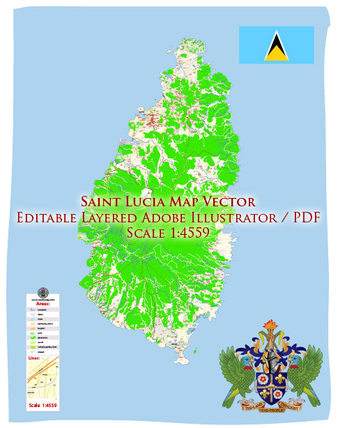
Saint Lucia is a beautiful island nation in the Caribbean. Its geography includes mountainous terrain, lush rainforests, and stunning coastal areas. Vectormap.Net provide you with the most accurate and up-to-date vector maps in Adobe Illustrator, PDF and other formats, designed for editing and printing. Please read the vector map descriptions carefully.
Principal Cities in Saint Lucia:
- Castries: The capital and largest city of Saint Lucia, located on the northwest coast. Castries serves as the political, economic, and cultural center of the country.
- Vieux Fort: Situated in the southern part of the island, Vieux Fort is the second-largest town and has an international airport, Hewanorra International Airport.
Waterways:
- Roseau River: This river flows through the capital, Castries, and is one of the main waterways on the island.
- Anse Cochon: This is a bay located on the western coast of Saint Lucia.
- Soufrière Bay: Found on the southwest coast near the town of Soufrière, known for its scenic beauty and the iconic Pitons, volcanic spires that rise dramatically from the sea.
Main Roads:
- Derek Walcott Square: In Castries, this square is surrounded by important government buildings and is a central point for various roads.
- John Compton Highway: This major road connects Castries to the southern part of the island, passing through Vieux Fort.
- East Coast Road: Running along the eastern coast, this road provides access to several scenic spots and communities.
- West Coast Road: Following the western coastline, this road offers breathtaking views of the Caribbean Sea.
- Vieux Fort – Soufrière Highway: Connecting the southern town of Vieux Fort to the picturesque town of Soufrière, this highway takes you through the scenic landscapes of Saint Lucia.
Please note that the road network and infrastructure may have been subject to changes or improvements after my last update, so it’s recommended to check with local sources or official maps for the latest information.


 Author: Kirill Shrayber, Ph.D. FRGS