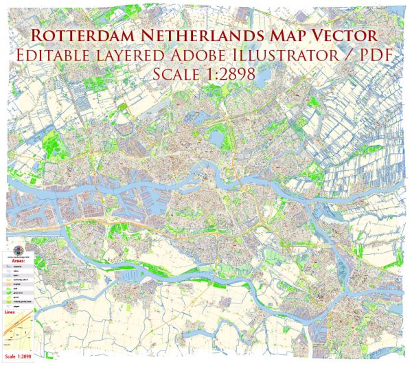
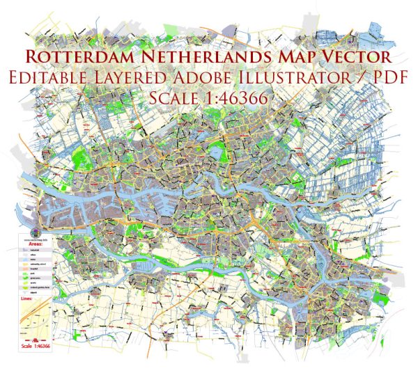
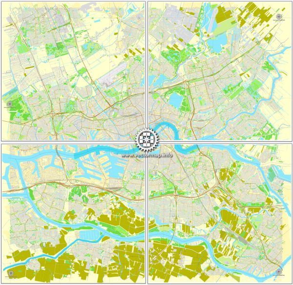
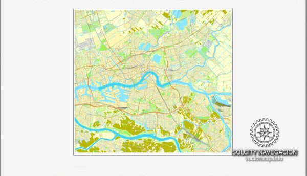
Rotterdam, located in the Netherlands, is a major port city with an extensive network of waterways, bridges, and main streets. The city’s geography and infrastructure are heavily influenced by its status as one of the largest and busiest ports in Europe. Here is a description of some of the principal waterways, bridges, and main streets in Rotterdam:
- Nieuwe Maas River:
- The Nieuwe Maas is a prominent river that runs through the heart of Rotterdam, dividing the city into northern and southern parts.
- It serves as a vital waterway for shipping and maritime activities, contributing to Rotterdam’s significance as a major port.
- Erasmus Bridge (Erasmusbrug):
- One of Rotterdam’s most iconic landmarks, the Erasmus Bridge is a cable-stayed bridge that spans the Nieuwe Maas River.
- It connects the northern and southern parts of the city and is known for its distinctive asymmetrical design.
- Willemsbrug:
- Another notable bridge in Rotterdam, the Willemsbrug, connects the city center with the northern districts.
- This bascule bridge is characterized by its red color and plays a key role in the city’s transportation network.
- Maasboulevard:
- The Maasboulevard is a scenic waterfront boulevard along the southern bank of the Nieuwe Maas River.
- It offers picturesque views of the river, skyline, and major landmarks, making it a popular area for both residents and visitors.
- Coolsingel:
- Coolsingel is one of Rotterdam’s main streets and a significant shopping and business district.
- It stretches from Hofplein to the Churchillplein and is surrounded by shops, restaurants, and important civic buildings.
- Beursplein:
- Beursplein is a square located in the heart of Rotterdam, adjacent to the Beurs-World Trade Center.
- It is a central point in the city and often hosts events, markets, and gatherings.
- Kop van Zuid:
- The Kop van Zuid is a former harbor area that has undergone extensive redevelopment.
- It is now a modern district with a mix of residential, commercial, and cultural spaces, including notable architecture like the Montevideo Tower.
- Leuvehaven:
- Leuvehaven is a historic harbor area that showcases Rotterdam’s maritime heritage.
- The Maritime Museum is located here, along with historic ships, providing insight into the city’s seafaring past.
Rotterdam’s dynamic urban landscape, characterized by its innovative architecture and maritime infrastructure, makes it a vibrant and unique city in the Netherlands. The combination of waterways, bridges, and main streets reflects its rich history and contemporary development.

 Author: Kirill Shrayber, Ph.D. FRGS