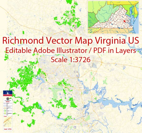
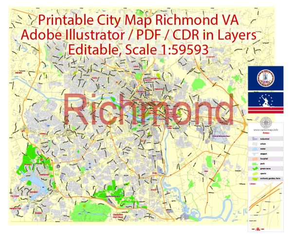
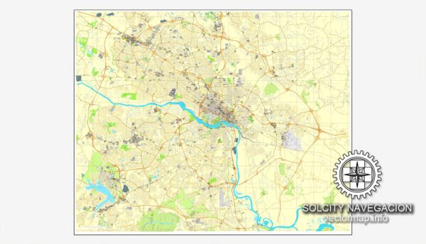
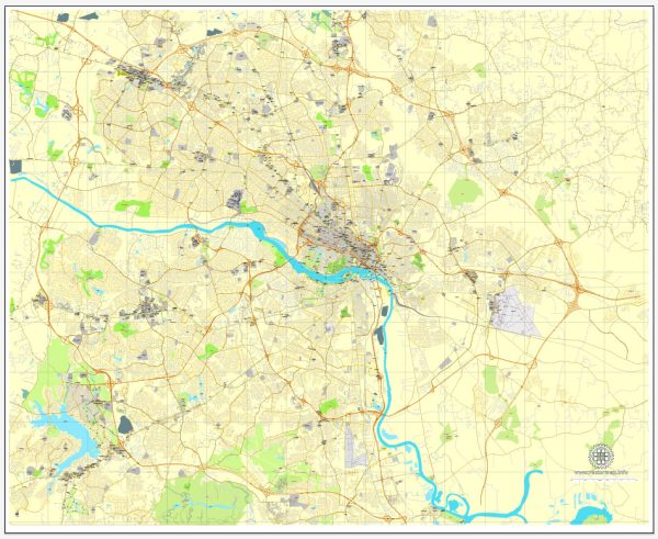
Richmond, Virginia, is a historic city with several prominent waterways, bridges, and main streets. Here’s a brief description of some of the key features:
Waterways:
- James River: The James River is a significant waterway that flows through the heart of Richmond. It has played a crucial role in the city’s history and development. The river offers recreational activities, and its scenic beauty adds to the charm of the city.
Bridges:
- Robert E. Lee Bridge: This bridge spans the James River and connects the city of Richmond to the northern part of the state. It’s an iconic structure with a unique arch design.
- Manchester Bridge: Also spanning the James River, the Manchester Bridge connects Richmond to the Manchester district. It provides an essential route for commuters and offers picturesque views of the river.
Main Streets:
- Broad Street: Broad Street is one of Richmond’s primary east-west thoroughfares, running through the heart of downtown. It is home to numerous shops, restaurants, and businesses. The historic Broad Street Station, now a Science Museum of Virginia, adds to the street’s charm.
- Grace Street: Parallel to Broad Street, Grace Street is another important downtown thoroughfare. It features a mix of historic architecture, shops, and dining options, making it a popular destination for both residents and visitors.
- Monument Avenue: While technically an avenue, Monument Avenue is a grand thoroughfare lined with statues commemorating Confederate leaders. It’s a unique and historically significant street, drawing both admiration and controversy.
- Cary Street: Located in the Carytown neighborhood, Cary Street is known for its eclectic mix of boutiques, cafes, and locally-owned shops. It’s a vibrant and trendy area that attracts a diverse crowd.
- Main Street: As the name suggests, Main Street is a central artery in downtown Richmond. It’s home to various businesses, restaurants, and cultural institutions, contributing to the city’s urban character.
Richmond’s waterways, bridges, and streets collectively form a tapestry that reflects the city’s rich history, diverse culture, and architectural heritage. The James River, in particular, is a defining feature that has shaped the city’s development and continues to be a focal point for both residents and visitors.
Vectormap.Net provide you with the most accurate and up-to-date vector maps in Adobe Illustrator, PDF and other formats, designed for editing and printing. Please read the vector map descriptions carefully.

 Author: Kirill Shrayber, Ph.D. FRGS