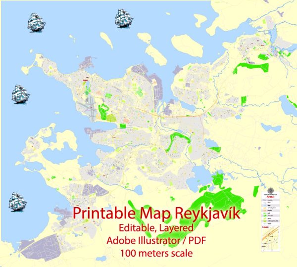
Reykjavik, the capital and largest city of Iceland, is known for its picturesque landscapes, coastal views, and vibrant urban life. While Reykjavik is not characterized by extensive waterways and bridges like some other cities, it does have some notable features.
Waterways:
- Tjörnin: Tjörnin is a prominent small lake located in the heart of Reykjavik. It is a popular spot for birdwatching and is surrounded by parks and gardens.
- Reykjavik Harbor: The city’s harbor area is a hub for maritime activities, boat tours, and seafood restaurants. It’s not a traditional waterway, but it plays a significant role in the city’s connection to the sea.
Bridges: Reykjavik doesn’t have many large bridges, but it does have smaller pedestrian and road bridges that cross various streams and water features.
Main Streets:
- Laugavegur: Laugavegur is Reykjavik’s main shopping street and one of the oldest streets in the city. It’s lined with shops, restaurants, cafes, and bars, making it a popular destination for both locals and tourists.
- Skólavörðustígur: This street leads up to the iconic Hallgrímskirkja church and is known for its boutiques, art galleries, and charming atmosphere.
- Austurstræti: Located in the heart of the city, this street is home to government buildings, shops, and cafes. Austurvöllur, a central square, is located here and is often a gathering place for events and gatherings.
- Bankastræti: Another important shopping street, Bankastræti runs parallel to Laugavegur and features a variety of shops, restaurants, and cultural sites.
- Hverfisgata: This street connects the harbor area with the city center and is known for its artistic and creative vibe. It’s home to galleries, studios, and trendy eateries.
While Reykjavik may not have an extensive network of waterways and bridges, its charm lies in its compact and walkable urban layout, surrounded by stunning natural beauty. The city is also known for its modern architecture, vibrant street art, and a thriving cultural scene.


 Author: Kirill Shrayber, Ph.D. FRGS