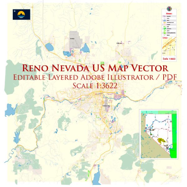
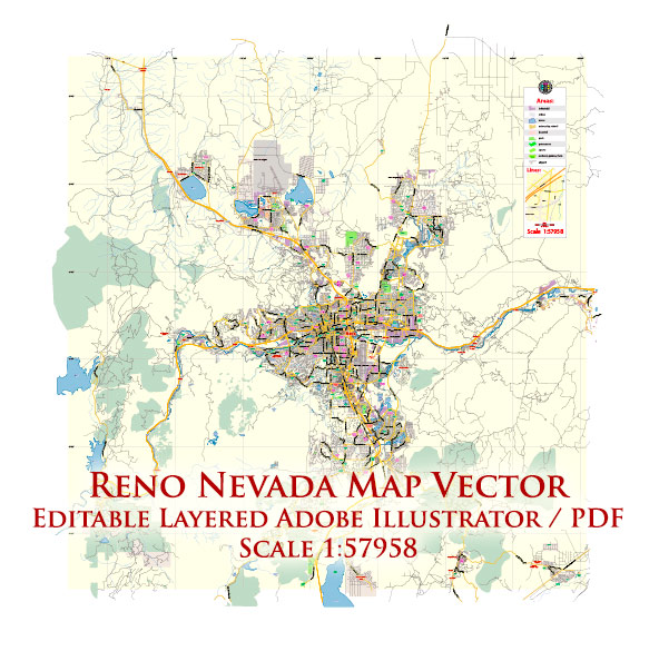
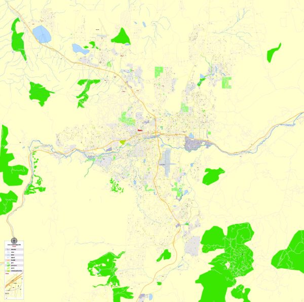
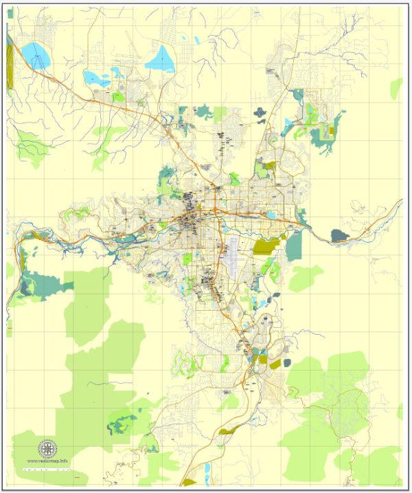
A general description of the principal waterways, bridges, and main streets in the Reno, Nevada area. Vectormap.Net provide you with the most accurate and up-to-date vector maps in Adobe Illustrator, PDF and other formats, designed for editing and printing. Please read the vector map descriptions carefully.
Principal Waterways:
- Truckee River: The Truckee River is the primary waterway flowing through Reno. It runs from Lake Tahoe to Pyramid Lake, passing through the heart of the city. The river plays a significant role in both recreational activities and as a water source.
Bridges:
- Virginia Street Bridge: This historic bridge spans the Truckee River in downtown Reno. It has undergone renovations in recent years, preserving its historic charm while improving safety and accessibility.
- Lake Street/Center Street Bridges: These bridges cross the Truckee River in different sections of the city, providing additional points of access.
Main Streets:
- Virginia Street: Virginia Street is one of the main thoroughfares in downtown Reno, hosting a variety of shops, restaurants, and entertainment venues. It runs parallel to the Truckee River and is a central part of the city’s urban core.
- Plumb Lane: Running east-west, Plumb Lane is a major street that provides access to various neighborhoods and commercial areas.
- McCarran Boulevard: This is a major ring road that encircles much of the Reno-Sparks metropolitan area, providing a key route for transportation around the city.
- Kietzke Lane: Kietzke Lane is an important north-south thoroughfare, hosting various businesses, shopping centers, and connecting different parts of the city.
- Meadowood Mall Lane: Leading to the Meadowood Mall, this street is a notable shopping district in the city.
Remember that developments and changes in infrastructure are possible, so it’s a good idea to check local sources or the city’s official website for the most up-to-date information on waterways, bridges, and main streets in Reno.

 Author: Kirill Shrayber, Ph.D. FRGS