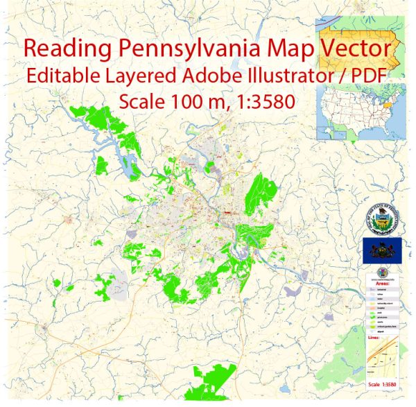
Reading, Pennsylvania, is a city with a rich history and several notable waterways, bridges, and main streets. Vectormap.Net provide you with the most accurate and up-to-date vector maps in Adobe Illustrator, PDF and other formats, designed for editing and printing. Please read the vector map descriptions carefully.
Waterways:
- Schuylkill River: The Schuylkill River flows through Reading, playing a significant role in the city’s history and development. It’s a major tributary of the Delaware River.
- Tulpehocken Creek: This creek is a tributary of the Schuylkill River and also passes through Reading. It has been important historically for transportation and industry.
Bridges:
- Penn Street Bridge: This is a notable bridge that spans the Schuylkill River, connecting downtown Reading with the eastern part of the city. It’s a key crossing point and offers scenic views of the river.
- Buttonwood Street Bridge: Another important bridge spanning the Schuylkill River, connecting Reading with the west side of the city. It serves as a vital transportation link.
Main Streets:
- Penn Street: Penn Street is one of the primary east-west thoroughfares in Reading. It runs through the heart of downtown and is lined with businesses, shops, and restaurants.
- Washington Street: This street intersects with Penn Street and is known for its historic architecture and cultural significance. It’s part of the city’s historic district.
- Perkiomen Avenue: Running east-west through the city, Perkiomen Avenue is a major thoroughfare with various commercial establishments and residential areas.
- Lancaster Avenue: Another important street in Reading, Lancaster Avenue is known for its diverse businesses and serves as a key route for commuters.
- North 5th Street: Running north-south, North 5th Street is a central corridor with a mix of residential and commercial properties.
Remember that Reading has a diverse and evolving urban landscape, so developments may have occurred since my last knowledge update. For the most current and detailed information, it’s recommended to consult local maps, city planning resources, or the municipality directly.


 Author: Kirill Shrayber, Ph.D. FRGS