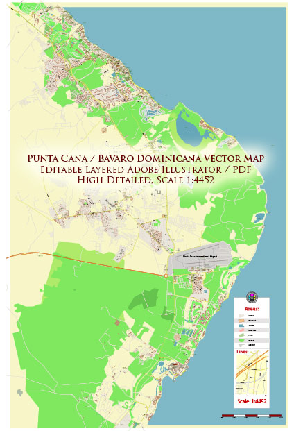
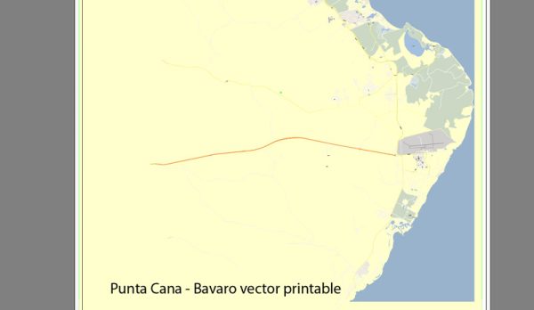
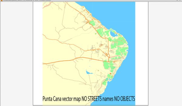
Punta Cana, Dominican Republic, a general overview based on common features of the area. Vectormap.Net provide you with the most accurate and up-to-date vector maps in Adobe Illustrator, PDF and other formats, designed for editing and printing. Please read the vector map descriptions carefully.
Waterways: Punta Cana is located on the eastern coast of the Dominican Republic, and it is known for its beautiful beaches and coastline. While there might not be major rivers or extensive waterways within Punta Cana itself, the area is characterized by the Atlantic Ocean and the Caribbean Sea. The coastline features white sandy beaches and turquoise waters.
Bridges: Punta Cana may not have many notable bridges within the resort areas, as it is primarily a coastal region. However, there may be small bridges or overpasses along some roads and infrastructure. Larger bridges are typically found in more urbanized areas and major cities, rather than in tourist destinations like Punta Cana.
Main Streets: Punta Cana is characterized by a network of well-maintained roads that connect various resorts, hotels, and attractions. Some of the main streets in the Punta Cana area include:
- Boulevard Turístico del Este: This is a major road that connects the Punta Cana International Airport to various resorts and beaches.
- Avenida Barceló: This avenue runs through the Bávaro area and is home to several resorts, restaurants, and shops.
- Avenida España: Found in the Punta Cana Village, Avenida España is a key street with shopping areas, restaurants, and residential spaces.
- Carretera Higüey-Punta Cana: This road connects Punta Cana to the city of Higüey, providing access to the interior of the Dominican Republic.
It’s important to note that the landscape and infrastructure of tourist destinations can evolve, so it’s advisable to check more recent sources or maps for the latest information on Punta Cana’s waterways, bridges, and main streets. Local tourism offices or online mapping services can provide up-to-date details.


 Author: Kirill Shrayber, Ph.D. FRGS