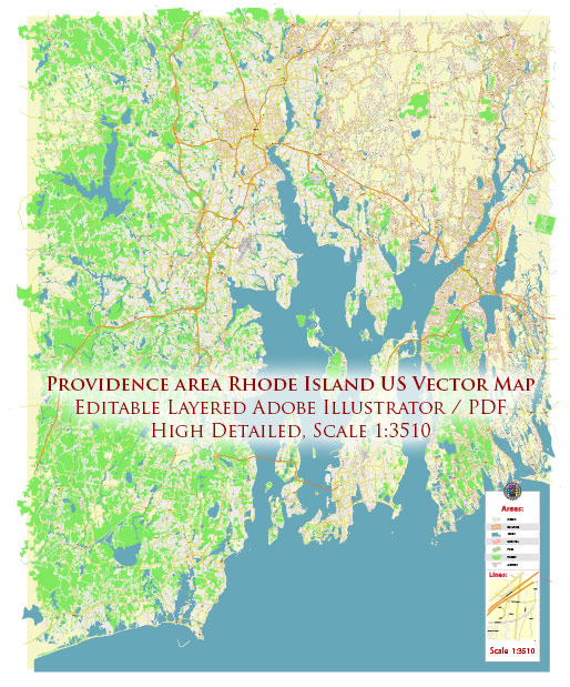
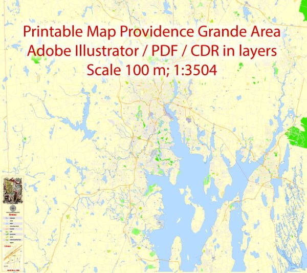
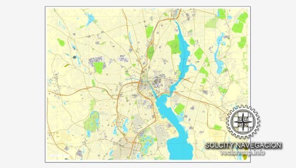
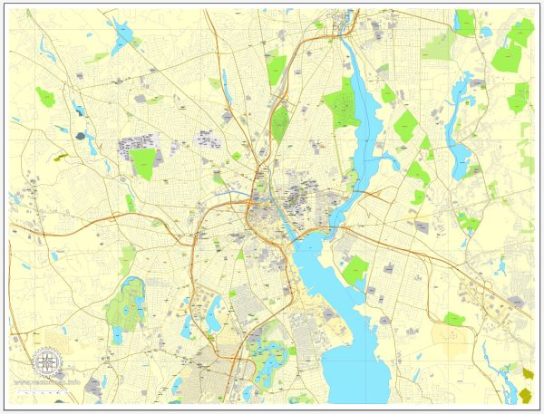
Providence, Rhode Island, is the capital and the most populous city in the state. It is known for its rich history, vibrant culture, and diverse neighborhoods. Here’s a brief description of some of the principal waterways, bridges, and main streets in Providence:
Waterways:
- Providence River: This river runs through the heart of the city and is a focal point for many activities. The river is spanned by several bridges, including the iconic Point Street Bridge.
- Woonasquatucket River: Flowing through the western part of the city, this river adds to Providence’s picturesque landscape.
Bridges:
- Point Street Bridge: A historic bridge that spans the Providence River, connecting the city’s East Side and Fox Point to the Jewelry District. It offers stunning views of the skyline.
- I-195 Bridge (Iway Bridge): This modern bridge is part of the I-195 relocation project and crosses the Providence River, providing a crucial link between the east and west sides of the city.
- Washington Bridge: Connecting the East Side to East Providence, this bridge plays a vital role in regional transportation.
Main Streets:
- Thayer Street: Located on the East Side, Thayer Street is a vibrant and eclectic street near Brown University and the Rhode Island School of Design (RISD). It is known for its diverse shops, restaurants, and cultural offerings.
- Westminster Street: In downtown Providence, Westminster Street is a hub for shopping, dining, and entertainment. The street is lined with historic buildings and has a lively atmosphere.
- Atwells Avenue: Found in the Federal Hill neighborhood, Atwells Avenue is often referred to as “Little Italy” due to its Italian heritage. It’s known for its excellent Italian restaurants, cafes, and specialty shops.
- Waterman Street: Running through the Brown University campus, Waterman Street is surrounded by historic buildings and green spaces, contributing to the university’s picturesque setting.
Providence’s waterways, bridges, and main streets collectively create a unique urban landscape, blending historical charm with modern amenities. The city’s walkable neighborhoods, diverse culinary scene, and cultural attractions make it a compelling destination for residents and visitors alike.
Vectormap.Net provide you with the most accurate and up-to-date vector maps in Adobe Illustrator, PDF and other formats, designed for editing and printing. Please read the vector map descriptions carefully.


 Author: Kirill Shrayber, Ph.D. FRGS