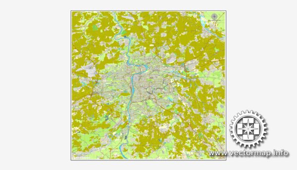
Prague, the capital city of the Czech Republic, is known for its stunning architecture, rich history, and picturesque landscapes. The city is bisected by the Vltava River, and several bridges connect the different parts of the city. Here are some of the principal waterways, bridges, and main streets in Prague:
Waterways:
- Vltava River:
- The Vltava River is the longest river in the Czech Republic and runs through the heart of Prague.
- Many of the city’s major landmarks are located along the banks of the Vltava.
Bridges:
- Charles Bridge (Karlův most):
- One of the most iconic landmarks in Prague, Charles Bridge dates back to the 14th century.
- The bridge is adorned with statues of saints and provides breathtaking views of the city.
- Manes Bridge (Manesův most):
- Located near Charles Bridge, Manes Bridge connects the Old Town with the Lesser Quarter.
- It offers great views of Prague Castle and the Vltava River.
- Jirásek Bridge (Jiráskův most):
- This bridge is known for its Art Nouveau style and is named after the Czech writer Alois Jirásek.
- It connects the New Town with the Vyšehrad area.
Main Streets:
- Wenceslas Square (Václavské náměstí):
- A historic square in the New Town, Wenceslas Square is a vibrant area with shops, restaurants, and cultural institutions.
- It is a central hub for both locals and tourists.
- Charles Street (Karlova ulice):
- Charles Street is a charming cobblestone street in the Lesser Quarter (Malá Strana), leading from Charles Bridge to Prague Castle.
- It is lined with medieval buildings, shops, and cafes.
- Národní Street:
- Národní Street is a major thoroughfare connecting the National Theatre with Wenceslas Square.
- It is known for its historic architecture and serves as a cultural and commercial center.
- Pařížská Street:
- Located in the Old Town, Pařížská Street is known for its upscale shops, boutiques, and high-end fashion.
- It is often referred to as the “Paris Street” due to its elegant atmosphere.
These waterways, bridges, and streets collectively contribute to the unique charm and character of Prague, making it a popular destination for visitors seeking history, culture, and architectural beauty.
Vectormap.Net provide you with the most accurate and up-to-date vector maps in Adobe Illustrator, PDF and other formats, designed for editing and printing. Please read the vector map descriptions carefully.


 Author: Kirill Shrayber, Ph.D. FRGS