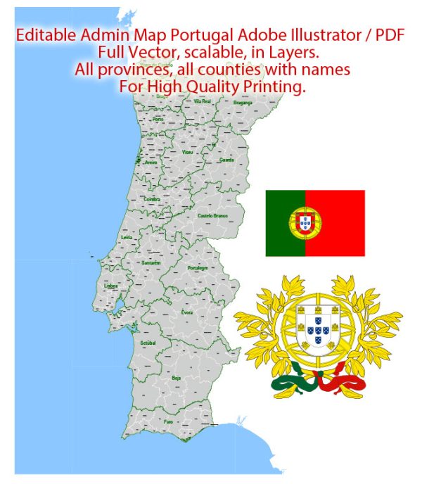
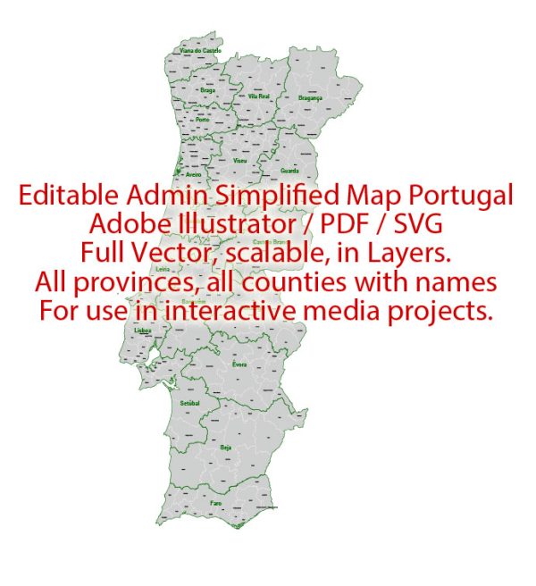
Portugal is a country located in southwestern Europe on the Iberian Peninsula. It is known for its rich history, diverse landscapes, and vibrant culture. Here’s a description of some of Portugal’s principal cities, waterways, and main roads:
Principal Cities:
- Lisbon (Lisboa):
- The capital and largest city of Portugal.
- Located on the western coast, along the Tagus River.
- Known for its historic neighborhoods, such as Alfama and Baixa, as well as iconic landmarks like Belém Tower and the Jerónimos Monastery.
- Porto:
- Situated in the north of Portugal along the Douro River.
- Famous for its port wine production and the historic Ribeira district.
- The city is characterized by its colorful buildings and bridges, including the Dom Luís I Bridge.
- Faro:
- The capital of the Algarve region in southern Portugal.
- Known for its historic old town, medieval walls, and proximity to beautiful beaches.
- The Faro Cathedral and the Ria Formosa Natural Park are notable attractions.
- Coimbra:
- Located in central Portugal on the banks of the Mondego River.
- Home to one of the oldest universities in Europe, the University of Coimbra.
- The city has a rich cultural and academic heritage.
Waterways:
- Tagus River (Rio Tejo):
- The longest river in the Iberian Peninsula.
- Flows through Spain and Portugal, with Lisbon situated along its estuary.
- The river has played a significant role in the country’s history and trade.
- Douro River (Rio Douro):
- Flows from Spain into northern Portugal.
- Known for the scenic Douro Valley, a UNESCO World Heritage Site, famous for its terraced vineyards and wine production.
Main Roads:
- A1 (Autoestrada do Norte):
- Connects Lisbon to Porto, serving as a major north-south highway.
- A2 (Autoestrada do Sul):
- Runs from Lisbon to the Algarve region in the south, connecting the capital to popular coastal destinations.
- A5 (Autoestrada da Costa do Estoril):
- Connects Lisbon to the coastal towns and resorts of Estoril and Cascais.
- A22 (Via do Infante):
- A major highway in the Algarve region, providing access to various towns and beaches in the south.
These descriptions offer a glimpse into the diverse geography and cultural richness of Portugal, showcasing its blend of historic charm and modern infrastructure.


 Author: Kirill Shrayber, Ph.D. FRGS