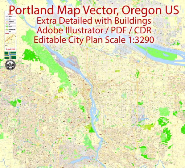
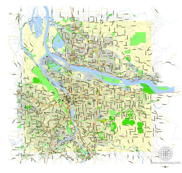
Portland, Oregon, is known for its natural beauty and urban planning that integrates seamlessly with its surrounding environment. The city is bisected by the Willamette River, with several bridges connecting the east and west sides. Here’s a brief description of some of the principal waterways, bridges, and main streets in Portland:
- Willamette River:
- The Willamette River runs through the heart of Portland, dividing the city into east and west sections. It is a major tributary of the Columbia River and provides a scenic backdrop to the city.
- Bridges:
- Steel Bridge: A distinctive double-deck vertical-lift bridge that accommodates both vehicle and train traffic. It offers fantastic views of the city skyline.
- Burnside Bridge: This is a bascule bridge with a unique teal color. It connects the east and west sides and is an important route in downtown Portland.
- Morrison Bridge: Another bascule bridge, the Morrison Bridge has a distinctive red color and provides a vital link across the Willamette River.
- Hawthorne Bridge: This is a truss bridge with a beautiful green color. It is the oldest vertical-lift bridge still in operation in the United States.
- Main Streets:
- Burnside Street: A major east-west street that stretches across the city. It is known for its eclectic mix of shops, restaurants, and cultural venues.
- Hawthorne Boulevard: Located on the east side of the river, Hawthorne Boulevard is a popular area with a bohemian atmosphere, featuring vintage shops, cafes, and theaters.
- Alberta Street: Found in the Alberta Arts District, this street is known for its vibrant arts scene, galleries, and diverse range of dining options.
- Naito Parkway: A north-south street along the waterfront that offers scenic views of the river and is host to events such as the Portland Rose Festival.
These waterways, bridges, and main streets contribute to the unique character of Portland, making it a city that seamlessly blends urban life with natural beauty. The bridges, in particular, are iconic landmarks that enhance the cityscape and provide essential transportation links.

 Author: Kirill Shrayber, Ph.D. FRGS