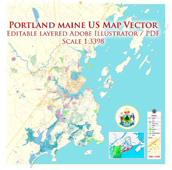
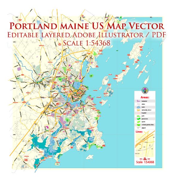
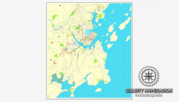
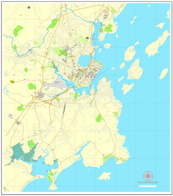
some general information about the principal waterways, bridges, and main streets in Portland, Maine. Vectormap.Net provide you with the most accurate and up-to-date vector maps in Adobe Illustrator, PDF and other formats, designed for editing and printing. Please read the vector map descriptions carefully.
Principal Waterways:
- Fore River: This tidal river flows through the western part of Portland, separating the city from South Portland. It is an important waterway for maritime activities.
- Back Cove: This is an estuary located in the northern part of the city, connected to the Atlantic Ocean. It’s a popular spot for recreational activities and features a trail around its perimeter.
Bridges:
- Casco Bay Bridge: Connecting Portland and South Portland, this bridge spans the Fore River and is a critical transportation link in the area.
- Veterans Memorial Bridge: Formerly known as the Portland-South Portland Bridge, it connects the west end of Portland with South Portland over the Fore River.
Main Streets:
- Congress Street: One of the main thoroughfares in Portland, Congress Street runs through the heart of the city, passing through the Arts District and the downtown area.
- Commercial Street: Located along the waterfront, Commercial Street is known for its historic architecture, shops, restaurants, and scenic views of the harbor.
- Exchange Street: A popular pedestrian street in the Old Port district, featuring cobblestone streets, shops, and cafes.
- Fore Street: Running parallel to Commercial Street, Fore Street is known for its historic buildings, art galleries, and upscale restaurants.
For the most accurate and current details, it is recommended to consult local maps, city planning resources, or official municipal websites.


 Author: Kirill Shrayber, Ph.D. FRGS