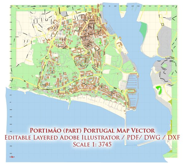
Portimão is a town in the Algarve region of Portugal, known for its beautiful beaches, historical sites, and vibrant culture. Vectormap.Net provide you with the most accurate and up-to-date vector maps in Adobe Illustrator, PDF and other formats, designed for editing and printing. Please read the vector map descriptions carefully.
Waterways: Portimão is situated along the Arade River, and while it doesn’t have extensive waterways within the town, the river plays a significant role in its geography. The Arade River estuary is an important feature, and boat tours along the river and coastline are popular activities.
Bridges: The most notable bridge in the Portimão area is the Portimão Bridge (Ponte da Balsa), also known as the Arade River Bridge. This bridge connects Portimão with the neighboring town of Ferragudo. It is a drawbridge, allowing boats to pass through. The bridge provides a scenic view of the river and the surrounding landscape.
Main Streets: Portimão has a network of streets that offer a mix of commercial, residential, and recreational areas. Some of the main streets and areas in Portimão include:
- Rua da Comunidade Lusíada: This street runs along the riverfront and is a popular location for strolling, dining, and enjoying the waterfront views.
- Avenida Tomás Cabreira: This avenue is located along the coastline and is known for its beachfront setting. It is a lively area with shops, restaurants, and access to Praia da Rocha, one of the famous beaches in the region.
- Rua Direita: This street is in the historic center of Portimão and is characterized by traditional Portuguese architecture. It’s a charming area with narrow cobblestone streets, shops, and cafes.
- Praia da Rocha Promenade: While not a street in the traditional sense, the promenade along Praia da Rocha beach is a popular area for leisurely walks. It offers stunning views of the cliffs and the sea.
It’s important to check for any updates or changes, as urban landscapes can evolve, and new developments may occur. Local tourism offices or updated online maps can provide the latest information on waterways, bridges, and main streets in Portimão.


 Author: Kirill Shrayber, Ph.D. FRGS