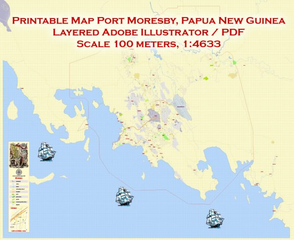
Port Moresby, Papua New Guinea, a general information about the city’s geography and infrastructure based on common data.
Vectormap.Net provide you with the most accurate and up-to-date vector maps in Adobe Illustrator, PDF and other formats, designed for editing and printing. Please read the vector map descriptions carefully.
Waterways:
Port Moresby is located on the southeastern coast of Papua New Guinea, overlooking the Gulf of Papua. The city has several bays and harbors, including Fairfax Harbour, which is the main harbor serving the city. Fairfax Harbour is significant for maritime activities, and it accommodates both commercial and industrial shipping.
Bridges:
Some notable bridges in Port Moresby may include those that span various waterways and connect different parts of the city. Examples could include bridges over the Laloki River or other smaller rivers and streams in the area. Specific bridge names and details would require more up-to-date information.
Main Streets:
Port Moresby has a network of roads and streets that connect its different neighborhoods and districts. As with any city, some streets serve as major thoroughfares for transportation and commerce. Specific main streets may include those that run through the central business district, government precincts, and residential areas.
For the latest and most accurate information about Port Moresby’s principal waterways, bridges, and main streets, I recommend checking with local government sources, city planning departments, or updated maps of the area. Additionally, online maps and navigation services may provide real-time information on the city’s infrastructure.


 Author: Kirill Shrayber, Ph.D. FRGS