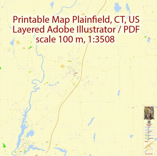
A general description of Plainfield, Connecticut, including its principal waterways, bridges, and main streets. Vectormap.Net provide you with the most accurate and up-to-date vector maps in Adobe Illustrator, PDF and other formats, designed for editing and printing. Please read the vector map descriptions carefully.
Waterways: Plainfield is situated in eastern Connecticut and is known for its scenic landscapes. The primary waterway in the area is the Quinebaug River, which flows through the town. The river plays a significant role in the region’s geography and provides opportunities for outdoor activities.
Bridges: Several bridges span the Quinebaug River and its tributaries in Plainfield. These bridges serve as vital transportation links, connecting different parts of the town. Bridge construction and maintenance are essential for ensuring the smooth flow of traffic and accessibility.
Main Streets: Plainfield has several main streets that serve as commercial and residential hubs. Depending on the specific area within Plainfield, some of the main streets include:
- East Main Street: This street often hosts a mix of residential and commercial properties and may have local businesses and shops.
- West Main Street: Similar to East Main Street, West Main Street is likely to be a central thoroughfare with a mix of residential and commercial establishments.
- Main Street (Downtown): Many towns have a central Main Street that serves as the downtown area, often featuring shops, restaurants, and community services. Check if Plainfield has a central Main Street that reflects the town’s historical and commercial character.
Keep in mind that the specifics of waterways, bridges, and streets may have changed, and for the most accurate and up-to-date information, it’s advisable to check with local authorities, town planning offices, or online mapping services.
Additionally, for the latest details on waterways, bridges, and streets in Plainfield, Connecticut, consider reaching out to the Plainfield town government, the Department of Public Works, or consulting local maps and resources.
Vectormap.Net provide you with the most accurate and up-to-date vector maps in Adobe Illustrator, PDF and other formats, designed for editing and printing. Please read the vector map descriptions carefully.


 Author: Kirill Shrayber, Ph.D. FRGS