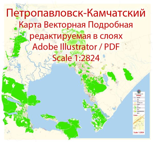
Petropavlovsk-Kamchatsky is a city located on the Kamchatka Peninsula in the Russian Far East. While it’s not known for a complex network of waterways, bridges, or extensive urban infrastructure like some larger cities, it has some notable features:
- Avacha Bay: This is a large and picturesque bay adjacent to Petropavlovsk-Kamchatsky. It is one of the few deep-water ports in the region and serves as an important harbor.
- Kamchatka River: The Kamchatka River flows through the region, and while it may not be a major waterway within the city, it plays a significant role in the broader geography of Kamchatka.
- No Major Bridges: Petropavlovsk-Kamchatsky is not known for large bridges. The city’s layout doesn’t require extensive bridge infrastructure due to its coastal location.
- Main Streets: The city is characterized by a network of streets and roads, with some of the main streets including:
- Lenin Avenue (Prospect Lenina): This is one of the central streets in Petropavlovsk-Kamchatsky, named after Vladimir Lenin. It is likely to be a hub of commercial and administrative activities.
- Krasintsev Street: Another important street in the city, likely hosting a mix of residential and commercial establishments.
- Sovetskaya Street: Streets named “Sovetskaya” are common in Russian cities and are often central thoroughfares.
- Pobedy Avenue: A street named “Pobedy” typically translates to Victory Avenue, possibly commemorating Soviet victory in World War II.
Please note that specific details may vary, and for the most accurate and up-to-date information, it’s recommended to refer to local maps or recent sources from the city itself. Additionally, infrastructure and city layouts can evolve over time due to urban development and planning.
Vectormap.Net provide you with the most accurate and up-to-date vector maps in Adobe Illustrator, PDF and other formats, designed for editing and printing. Please read the vector map descriptions carefully.


 Author: Kirill Shrayber, Ph.D. FRGS