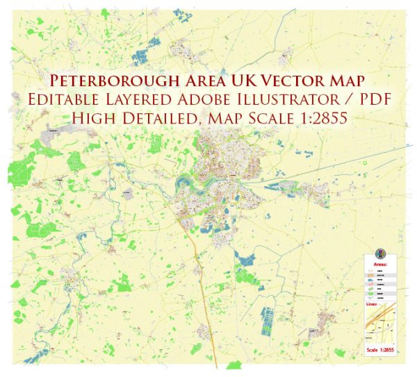
Some general information about the principal waterways, bridges, and main streets and roads in the Peterborough area in the UK. Vectormap.Net provide you with the most accurate and up-to-date vector maps in Adobe Illustrator, PDF and other formats, designed for editing and printing. Please read the vector map descriptions carefully.
Waterways:
- River Nene: The River Nene is a major waterway in the Peterborough area. It flows through the city, providing a scenic element to the landscape.
Bridges:
- Town Bridge: The Town Bridge in Peterborough is a notable crossing over the River Nene. It is a historic structure with a distinctive design.
Main Streets and Roads:
- Bourges Boulevard: This is a significant road in Peterborough, running along the eastern edge of the city center and providing a key route for traffic.
- Parkway: The Peterborough Parkway is an important road that connects various parts of the city and serves as a major route for transportation.
- A47: The A47 is a major road that passes through Peterborough, providing connectivity between cities and regions.
- A15: The A15 also runs through the Peterborough area, connecting various localities and serving as a key transport route.
Please note that road and infrastructure developments are common, and there may have been changes or additions since my last update. For the most accurate and current information, it’s recommended to check with local authorities or use online mapping services that provide real-time data.


 Author: Kirill Shrayber, Ph.D.