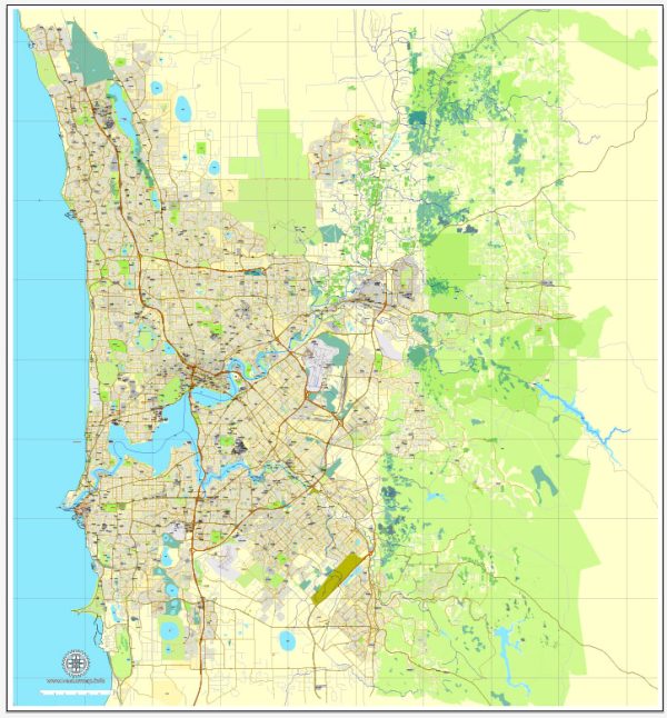
A general overview of some of the principal waterways, bridges, and main streets in Perth, Australia. Vectormap.Net provide you with the most accurate and up-to-date vector maps in Adobe Illustrator, PDF and other formats, designed for editing and printing. Please read the vector map descriptions carefully.
Waterways:
- Swan River: The Swan River is a prominent waterway that flows through the heart of Perth. It divides the city into northern and southern halves. The river is not only a scenic feature but also serves as a popular location for recreational activities.
- Canning River: Another significant waterway in the region, the Canning River, flows into the Swan River. It passes through several suburbs in the southern part of Perth.
Bridges:
- Narrows Bridge: Connecting the southern and northern suburbs of Perth, the Narrows Bridge spans the Swan River. It is a key transportation link and offers impressive views of the city skyline.
- Matagarup Bridge: This pedestrian bridge links East Perth with the Optus Stadium and the Crown Perth complex. It’s a modern cable-stayed bridge that has become a notable feature of the cityscape.
Main Streets:
- St George’s Terrace: This is one of the main streets in the central business district (CBD) of Perth. It is home to many financial institutions, government offices, and high-rise buildings.
- Hay Street and Murray Street Mall: These pedestrian malls run through the heart of the city and are popular for shopping, dining, and entertainment. They are lined with shops, cafes, and cultural venues.
- William Street: Known for its diverse range of shops, cafes, and boutiques, William Street is a trendy area that connects Northbridge with the CBD.
- Beaufort Street: Located in the suburb of Mount Lawley, Beaufort Street is famous for its eclectic mix of restaurants, cafes, and shops. It’s a hub for the arts and cultural scene.
Please note that cityscapes can change, and new developments may have occurred since my last update. It’s advisable to check more recent sources or local authorities for the latest information on Perth’s waterways, bridges, and main streets.


 Author: Kirill Shrayber, Ph.D. FRGS