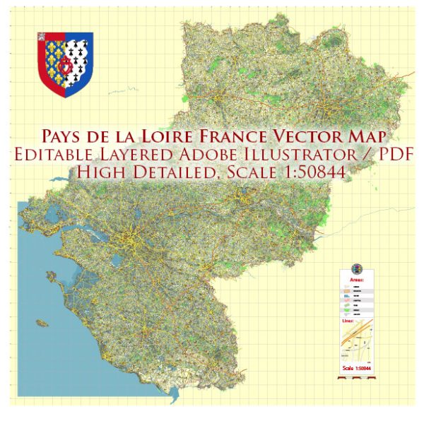
The Pays de la Loire region is located in western France and is known for its diverse landscapes, historic landmarks, and vibrant cities. Here are some of the principal cities, notable waterways, and main roads in the Pays de la Loire region:
Principal Cities:
- Nantes:
- Nantes is the capital city of the Pays de la Loire region.
- It is situated on the Loire River and is known for its rich history, cultural attractions, and dynamic arts scene.
- The Château des Ducs de Bretagne is a notable historical site in Nantes.
- Angers:
- Angers is another major city in the region, known for its medieval castle (Château d’Angers) and the famous Apocalypse Tapestry.
- It is located on the Maine River, a tributary of the Loire.
- Le Mans:
- Le Mans is famous for its annual 24 Hours of Le Mans endurance race.
- The city has a well-preserved medieval old town and the impressive Le Mans Cathedral.
- Saint-Nazaire:
- Saint-Nazaire is a port city on the Atlantic coast known for its shipbuilding industry.
- The city has modern architecture and a long seaside promenade.
- La Roche-sur-Yon:
- La Roche-sur-Yon is the administrative capital of the Vendée department.
- It was Napoleon’s creation as a “new town” and has a gridded street layout.
Waterways:
- Loire River:
- The Loire River is the longest river in France and runs through the Pays de la Loire region.
- It is a major waterway and contributes to the picturesque landscapes of the area.
- Maine River:
- The Maine River is a tributary of the Loire and flows through the city of Angers.
- Erdre River:
- The Erdre River is a small tributary of the Loire, known for its scenic beauty.
- It passes through Nantes and is popular for boat rides.
Main Roads:
- A11 (Autoroute 11):
- Connects Nantes to Paris, facilitating a major transportation route between the capital and the Pays de la Loire region.
- A83 (Autoroute 83):
- Runs through the region, connecting Nantes to Niort and the A10, a major north-south highway.
- N137:
- Connects Nantes to the coastal areas, passing through Saint-Nazaire.
- D723:
- A regional road connecting Angers to Le Mans.
These are just a few examples, and the region has an extensive network of roads and highways, making it accessible and well-connected. The Pays de la Loire region offers a mix of historical charm, natural beauty, and modern infrastructure.
Vectormap.Net provide you with the most accurate and up-to-date vector maps in Adobe Illustrator, PDF and other formats, designed for editing and printing. Please read the vector map descriptions carefully.


 Author: Kirill Shrayber, Ph.D. FRGS