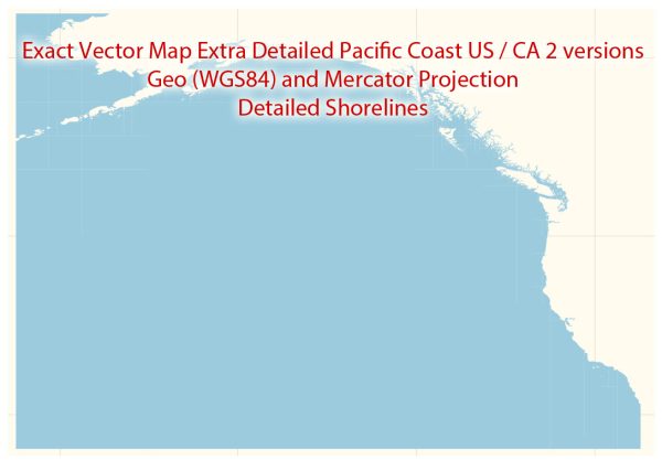
The Pacific Coast of the United States and Canada is a region characterized by stunning natural landscapes, vibrant cities, and a network of waterways and roads that facilitate transportation and trade. Here’s a description of some principal cities, notable waterways, and main roads along the Pacific Coast:
Principal Cities:
- Seattle, Washington (US): Known for its iconic Space Needle, vibrant tech scene, and beautiful waterfront, Seattle is a major cultural and economic hub in the Pacific Northwest.
- Portland, Oregon (US): Famous for its hipster culture, eco-friendliness, and a thriving food scene, Portland is a diverse city located at the confluence of the Willamette and Columbia Rivers.
- San Francisco, California (US): Home to the Golden Gate Bridge, Alcatraz Island, and a rich history of the Gold Rush, San Francisco is a global tech center with a unique blend of Victorian architecture and modern skyscrapers.
- Los Angeles, California (US): The entertainment capital of the world, Los Angeles is known for Hollywood, beautiful beaches, and a diverse cultural scene.
- San Diego, California (US): With its mild climate and beautiful beaches, San Diego is a major center for tourism, international trade, and military activity.
- Vancouver, British Columbia (Canada): A picturesque city surrounded by mountains and water, Vancouver is a major seaport and a gateway to the stunning landscapes of British Columbia.
- Victoria, British Columbia (Canada): Located on Vancouver Island, Victoria is known for its British colonial architecture, vibrant gardens, and as the capital city of British Columbia.
Notable Waterways:
- Puget Sound: A complex estuarine system in the Pacific Northwest, Puget Sound is characterized by deep fjords, islands, and a thriving marine ecosystem.
- Columbia River: One of the largest rivers in North America, the Columbia River flows through the Pacific Northwest, forming part of the border between Washington and Oregon.
- San Francisco Bay: A large, natural harbor surrounded by diverse cities and landmarks, including the iconic Golden Gate Bridge.
- Strait of Juan de Fuca: A strategically important waterway connecting the Pacific Ocean to Puget Sound, separating Washington state from Vancouver Island.
Main Roads:
- Interstate 5 (I-5): A major north-south highway running from the Canadian border in Washington through Oregon and California, connecting several major cities along the Pacific Coast.
- US Route 101: A scenic highway running along the Pacific Coast from Washington to California, offering breathtaking views of the coastline.
- Pacific Highway (CA-1): Known as the Pacific Coast Highway, this iconic route runs along the California coastline, offering stunning views of the Pacific Ocean.
- I-405 and I-90: These interstate highways serve the greater Seattle area, facilitating transportation within the city and connecting it to other regions.
These cities, waterways, and roads collectively contribute to the economic, cultural, and natural richness of the Pacific Coast region in the United States and Canada.


 Author: Kirill Shrayber, Ph.D. FRGS