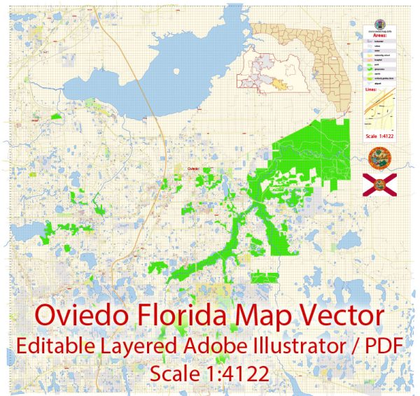
Oviedo, Florida, information on some of the major roads and streets in the area based on general knowledge. Vectormap.Net provide you with the most accurate and up-to-date vector maps in Adobe Illustrator, PDF and other formats, designed for editing and printing. Please read the vector map descriptions carefully.
1. State Road 434 (SR 434): This is a significant road that runs east-west and serves as a major transportation route through Oviedo. It connects the city with neighboring areas and provides access to various businesses and residential areas.
2. County Road 419 (CR 419): Running north-south, CR 419 is another important road in the Oviedo area. It connects Oviedo to other parts of Seminole County and may serve as a key route for local traffic.
3. Mitchell Hammock Road: This road is likely to be a local artery connecting different neighborhoods and possibly leading to recreational areas or schools.
4. Alafaya Trail: While not directly in Oviedo, Alafaya Trail is a major road in the vicinity that connects Oviedo to the University of Central Florida and other parts of the Orlando metropolitan area.
5. Broadway Street: Broadway Street is a local road that may run through the heart of Oviedo, offering access to various shops, restaurants, and community services.
To get the most accurate and up-to-date information about the principal streets and roads in Oviedo, you can check with the City of Oviedo’s official website, local transportation authorities, or use online mapping services like Vectormap.Net. These sources should provide detailed information about the road network, including street names, intersections, and any recent developments or changes.


 Author: Kirill Shrayber, Ph.D. FRGS