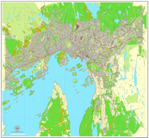
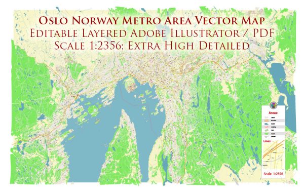
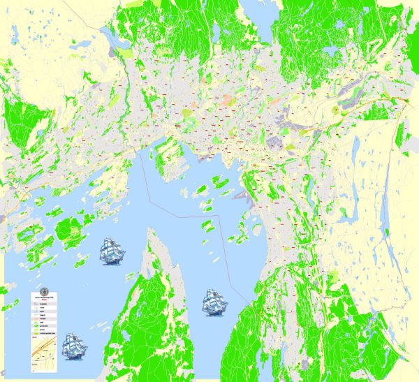
Oslo, the capital city of Norway, is known for its stunning natural surroundings and well-planned urban infrastructure. Here’s an overview of some of the principal waterways, bridges, and main streets in Oslo:
Waterways:
- Oslofjord: Oslo is situated at the northernmost end of the Oslofjord, a picturesque inlet of the Skagerrak strait. The fjord plays a significant role in the city’s geography, offering beautiful waterfront areas and recreational opportunities.
- Akerselva River: This river runs through the heart of Oslo, flowing from Maridalsvannet (Maridalen lake) through the city center and eventually into the Oslofjord. The riverbanks are popular for walking and cycling.
Bridges:
- Akershus Fortress Bridge: Connecting the city center with the historic Akershus Fortress, this bridge offers panoramic views of the harbor and the fjord.
- Oslofjord Bridge: Located west of the city, this bridge is part of the E18 highway and provides a vital link across the fjord.
Main Streets:
- Karl Johans Gate: Oslo’s main street, named after King Charles III John, stretches from the central railway station to the Royal Palace. It’s a vibrant boulevard lined with shops, restaurants, and cultural institutions.
- Grünerløkka: This trendy district features several popular streets, including Thorvald Meyers Gate, which is known for its hip boutiques, cafes, and a lively atmosphere.
- Storgata: Running through the city center, Storgata is a major street with a mix of shops, offices, and cultural venues.
- Kongens Gate: Located in the heart of Oslo, this street is known for its historic buildings, shops, and access to important landmarks like the Parliament of Norway.
Notable Areas:
- Aker Brygge: A former shipyard turned upscale waterfront district, Aker Brygge is known for its restaurants, shops, and entertainment venues.
- The Barcode Project: This modern architectural development along the waterfront consists of high-rise buildings that form a “barcode” pattern, creating a striking skyline.
- Oslo Opera House: While not a street or waterway, the Oslo Opera House is a notable structure situated on the waterfront. Its design allows visitors to walk on its roof, providing panoramic views of the city and the fjord.
Oslo’s urban planning, combined with its natural beauty, makes it a delightful city to explore, with a harmonious blend of history, culture, and modernity. Vectormap.Net provide you with the most accurate and up-to-date vector maps in Adobe Illustrator, PDF and other formats, designed for editing and printing. Please read the vector map descriptions carefully.


 Author: Kirill Shrayber, Ph.D.