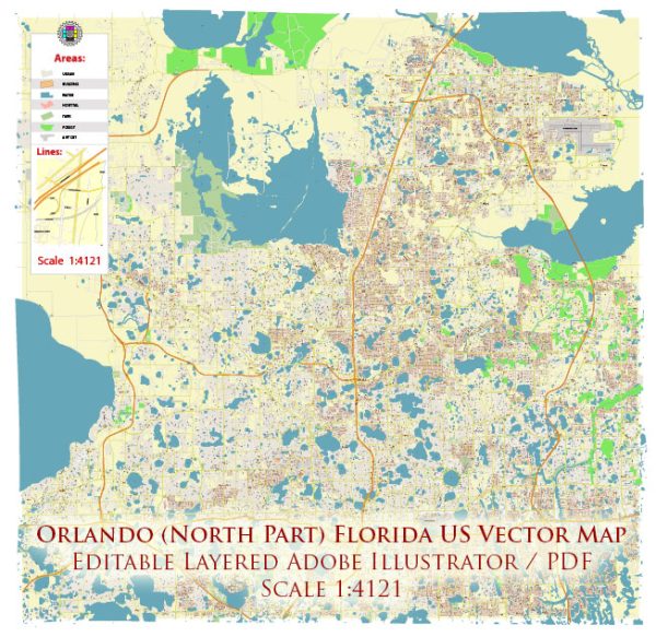
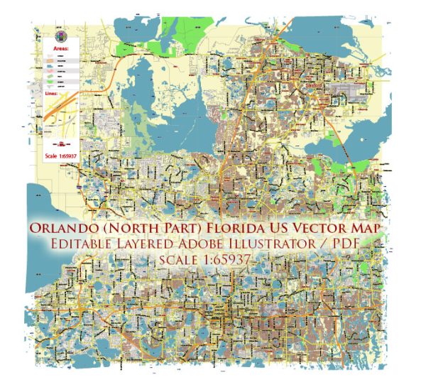
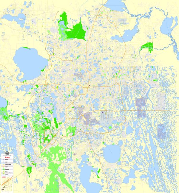
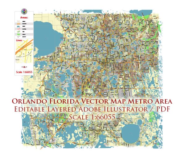
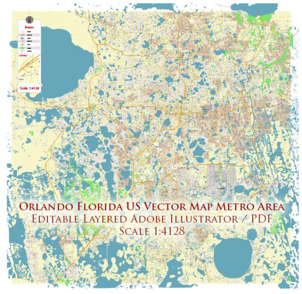
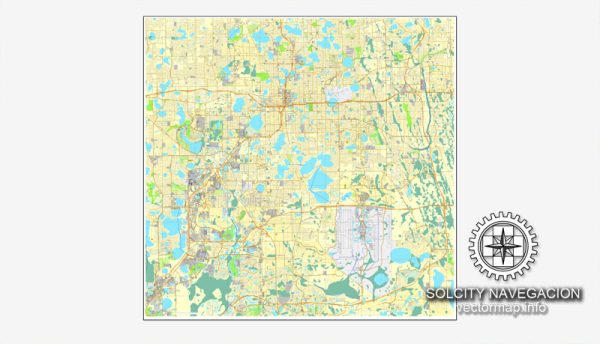
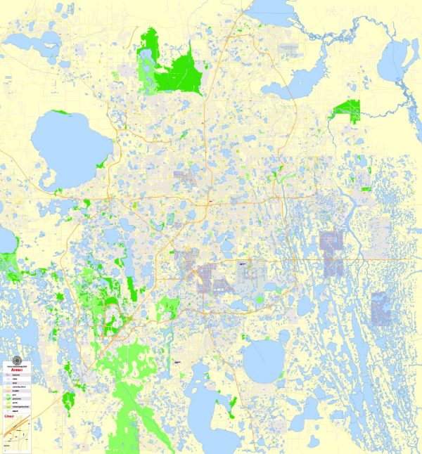
A general overview of the principal waterways, bridges, and main streets and roads in Orlando, Florida. Vectormap.Net provide you with the most accurate and up-to-date vector maps in Adobe Illustrator, PDF and other formats, designed for editing and printing. Please read the vector map descriptions carefully.
Waterways:
- Lake Eola: Located in downtown Orlando, Lake Eola is a popular urban lake surrounded by parks and a scenic walking path.
- St. Johns River: While not directly within Orlando city limits, the St. Johns River is a significant waterway in central Florida and is not far from the city.
Bridges:
- Colonial Drive (SR 50) Bridge: Spans across Lake Ivanhoe, connecting downtown Orlando with the Ivanhoe Village neighborhood.
- I-4 Bridges: Interstate 4 (I-4) crosses various water bodies, including the St. Johns River and several lakes within the Orlando metropolitan area.
Main Streets and Roads:
- International Drive (I-Drive): Known for its tourism and entertainment establishments, I-Drive is a major thoroughfare in the Orlando area, hosting attractions like Universal Studios and the Orlando Eye.
- East-West Expressway (SR 408): This toll road connects the western and eastern parts of Orlando, providing access to downtown and the University of Central Florida.
- Florida’s Turnpike: This major toll road runs north-south and provides a quick route for travelers passing through or around the Orlando area.
- Interstate 4 (I-4): A crucial interstate highway that passes through Orlando, connecting Tampa to the southwest and Daytona Beach to the northeast.
- SR 417 (Central Florida GreeneWay): An important toll road encircling Orlando, providing a convenient bypass for commuters and travelers.
For the most up-to-date and detailed information on Orlando’s infrastructure, including waterways, bridges, and roads, it’s recommended to consult local maps, transportation authorities, and city planning resources. Additionally, local government websites and tourism bureaus may provide valuable information.

 Author: Kirill Shrayber, Ph.D. FRGS