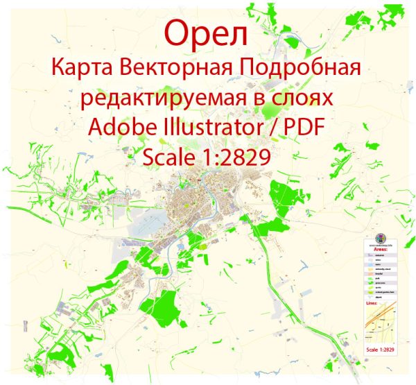
Orel, Russia, is a city located in the western part of Russia, about 360 kilometers southwest of Moscow. A general description of Orel’s principal waterways, bridges, and main streets. Vectormap.Net provide you with the most accurate and up-to-date vector maps in Adobe Illustrator, PDF and other formats, designed for editing and printing. Please read the vector map descriptions carefully.
- Waterways: Orel is situated on the Oka River, one of the major rivers in Russia. The city’s connection to the Oka River has historically been important for transportation and trade. The river may have influenced the city’s development and layout.
- Bridges: Orel likely has several bridges spanning the Oka River or other waterways within the city. These bridges are essential for connecting different parts of the city and facilitating transportation. Specific details about individual bridges, such as their names and characteristics, would require up-to-date information.
- Main Streets: Orel, like many cities, has a network of streets and avenues that serve as the main arteries for traffic and commerce. Some of the main streets in Orel may include:
- Lenina Street: This is a common name for central streets in Russian cities, often named after Vladimir Lenin. It could be a central thoroughfare with shops, businesses, and historical landmarks.
- Krasnaya Street: Another common name in Russian cities, “Krasnaya” translates to “Red” in English and is often associated with the Soviet period. Krasnaya Street might be a significant road in Orel.
- Pobedy Avenue: “Pobedy” translates to “Victory” and is a common name for avenues in Russian cities, commemorating victories in wars. Pobedy Avenue may be a notable street in Orel.
- Sovetskaya Street: Reflecting the Soviet heritage, many cities have a Sovetskaya Street, which could be a central location with various amenities.


 Author: Kirill Shrayber, Ph.D. FRGS