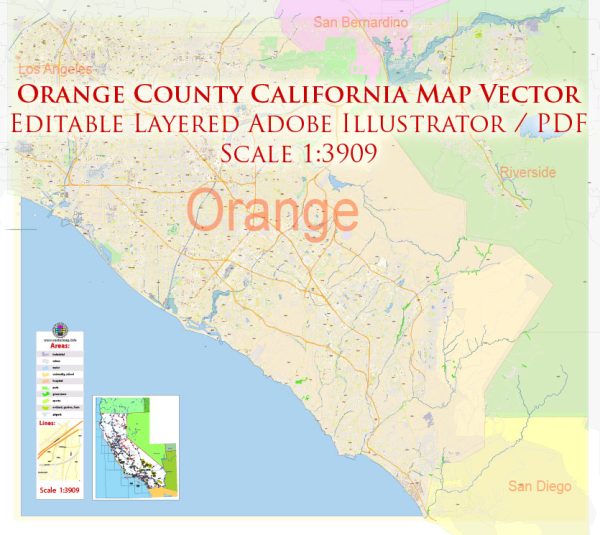
Orange County, located in Southern California, is known for its diverse landscape, thriving communities, and numerous waterways, bridges, streets, and roads. Here’s a brief overview of some of the principal waterways, bridges, and main streets and roads in Orange County:
Waterways:
- Santa Ana River:
- One of the major rivers in Southern California.
- Flows through Orange County, providing a water source for the region.
- Newport Bay:
- A large estuary in Newport Beach.
- Connected to the Pacific Ocean by Newport Beach Harbor.
- San Juan Creek:
- Flows through the cities of San Juan Capistrano and Dana Point.
Bridges:
- Pacific Coast Highway (PCH) Bridges:
- Several bridges along PCH that span various waterways, offering scenic coastal views.
- Main Street Bridge, Huntington Beach:
- Spans the Huntington Beach Channel and connects the Balboa Peninsula to the mainland.
- Seal Beach Bridge:
- Connects Seal Beach to the city of Long Beach.
Main Streets and Roads:
- Pacific Coast Highway (PCH):
- Iconic coastal highway running along the Pacific Ocean.
- Offers breathtaking views and access to many beach communities.
- Interstate 5 (I-5):
- A major north-south interstate that traverses Orange County, connecting it to Los Angeles and San Diego.
- State Route 55 (SR-55):
- A crucial north-south highway connecting the coastal and inland areas of Orange County.
- State Route 91 (SR-91):
- An east-west freeway connecting Orange County to the Inland Empire.
- Irvine Boulevard:
- Runs through the city of Irvine, connecting various neighborhoods and commercial areas.
- Chapman Avenue:
- A major east-west thoroughfare that passes through several Orange County cities.
- Jamboree Road:
- Important north-south road in Orange County, passing through cities like Irvine and Newport Beach.
- Katella Avenue:
- Runs through Anaheim and is known for its proximity to Disneyland Resort.
These are just a few examples, and Orange County has an extensive network of streets, roads, and highways that facilitate transportation and connect its diverse communities.
Vectormap.Net provide you with the most accurate and up-to-date vector maps in Adobe Illustrator, PDF and other formats, designed for editing and printing. Please read the vector map descriptions carefully.


 Author: Kirill Shrayber, Ph.D. FRGS