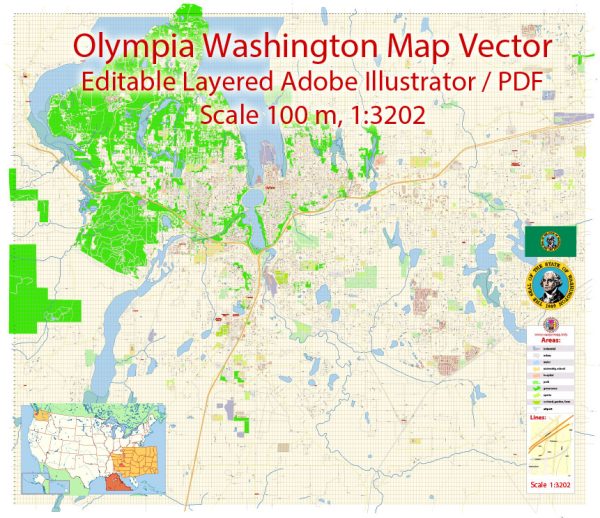
A general description of Olympia, Washington’s principal waterways, bridges, and main streets. Vectormap.Net provide you with the most accurate and up-to-date vector maps in Adobe Illustrator, PDF and other formats, designed for editing and printing. Please read the vector map descriptions carefully.
Waterways:
- Budd Inlet: Olympia is situated at the southern tip of Puget Sound, and Budd Inlet runs along its eastern border. The inlet provides access to the waters of Puget Sound and plays a significant role in the maritime activities of the area.
Bridges:
- 4th Avenue Bridge: This is a notable bridge in Olympia that spans over Capitol Lake, connecting the downtown area with the Westside neighborhood.
Main Streets:
- Capitol Way: Capitol Way is one of the main north-south streets in downtown Olympia. It runs parallel to Budd Inlet and is home to various shops, restaurants, and government buildings.
- 4th Avenue: This street is also central to downtown Olympia and features a mix of businesses, including shops, cafes, and offices.
- Pacific Avenue: Pacific Avenue is another key street in the downtown area, known for its historic architecture and a variety of retail and dining establishments.
- Harrison Avenue: Running through West Olympia, Harrison Avenue is a major thoroughfare with a mix of residential and commercial properties.
Remember that Olympia is the capital of Washington state, and as such, it has government buildings and offices concentrated in the downtown area. The city’s layout is influenced by its waterfront location and the surrounding natural beauty. For the latest and most accurate information, it’s recommended to check with local authorities or use mapping tools for real-time updates.


 Author: Kirill Shrayber, Ph.D. FRGS