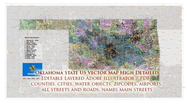
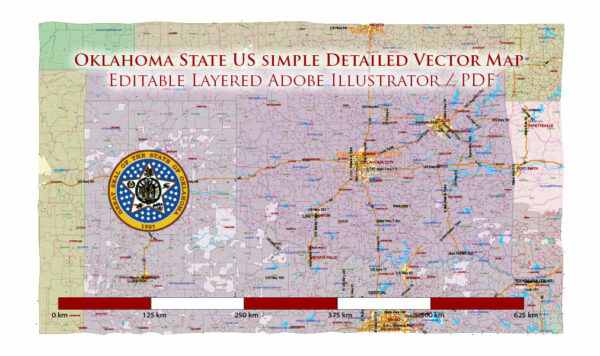
Information about the principal cities, waterways, and main roads in the state of Oklahoma, USA. Vectormap.Net provide you with the most accurate and up-to-date vector maps in Adobe Illustrator, PDF and other formats, designed for editing and printing. Please read the vector map descriptions carefully. Here is a general overview:
Principal Cities:
- Oklahoma City: The capital and largest city of Oklahoma, located in the central part of the state. It is a major economic and cultural hub.
- Tulsa: The second-largest city in Oklahoma, situated in the northeastern part of the state. Tulsa is known for its oil industry and cultural attractions.
- Norman: Located south of Oklahoma City, Norman is home to the University of Oklahoma and is a center for education and research.
- Broken Arrow: A suburb of Tulsa, Broken Arrow has experienced significant growth and is one of the state’s fastest-growing cities.
- Lawton: Located in the southwestern part of the state, Lawton is known for its proximity to Fort Sill and its military presence.
Waterways:
- Arkansas River: The Arkansas River flows through eastern Oklahoma, providing a significant watercourse for the region.
- Red River: Forms part of the southern border between Oklahoma and Texas.
- Canadian River: Flows across the central part of the state, a tributary of the Arkansas River.
- Grand Lake o’ the Cherokees: A large reservoir in northeastern Oklahoma formed by the Grand River.
Main Roads and Highways:
- Interstate 35 (I-35): Runs north-south through central Oklahoma, connecting cities like Oklahoma City and Norman.
- Interstate 40 (I-40): Crosses the state from west to east, connecting cities such as Oklahoma City, El Reno, and Fort Smith (Arkansas).
- Interstate 44 (I-44): Travels southwest to northeast, passing through Tulsa and connecting to Oklahoma City.
- U.S. Route 69: Runs north-south through eastern Oklahoma, passing through cities like Muskogee and McAlester.
- U.S. Route 75: Travels north-south through eastern Oklahoma, connecting cities such as Tulsa and Okmulgee.
- U.S. Route 412: Crosses the state from west to east, passing through cities like Woodward and Enid.
These are just some of the major cities, waterways, and highways in Oklahoma. For the most current and detailed information, it’s recommended to check with official state and local sources or use updated maps and navigation systems.


 Author: Kirill Shrayber, Ph.D. FRGS