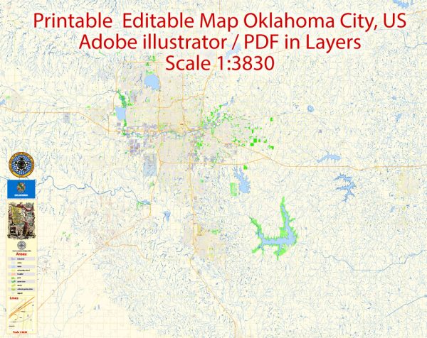
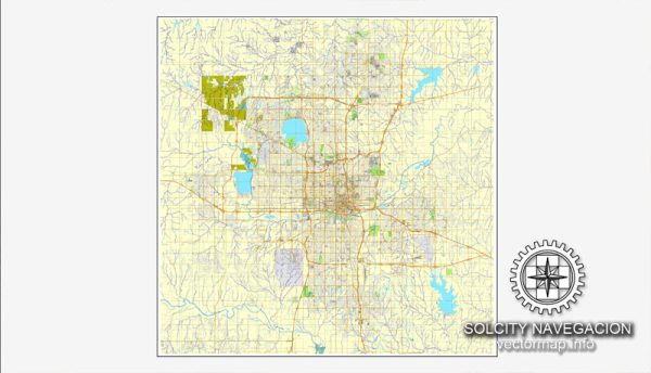
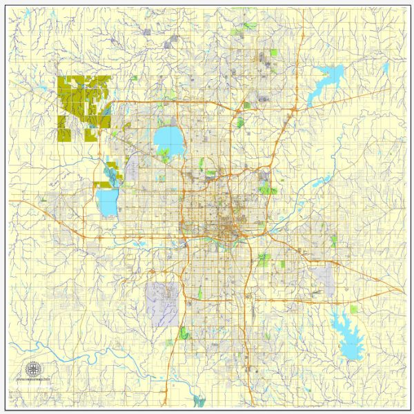
A general overview of the principal waterways, bridges, and main streets and roads in Oklahoma City, Oklahoma. Vectormap.Net provide you with the most accurate and up-to-date vector maps in Adobe Illustrator, PDF and other formats, designed for editing and printing. Please read the vector map descriptions carefully.
Principal Waterways:
- North Canadian River: Flows through the northern part of Oklahoma City.
- South Canadian River: Runs through the southern part of the city.
- Oklahoma River: A man-made waterway that flows through the downtown area, created as part of the city’s revitalization efforts.
Bridges:
- Skydance Bridge: A notable pedestrian bridge that spans the Oklahoma River, connecting the Boathouse District with downtown.
- Sante Fe Bridge: A historic railroad bridge that crosses the North Canadian River.
- Penn Avenue Bridge: Spans the Oklahoma River in the western part of the city.
Main Streets and Roads:
- Interstate 35 (I-35): Runs north-south through the city, connecting Oklahoma City with other major cities.
- Interstate 40 (I-40): East-west interstate passing through the city, connecting the East and West coasts.
- Interstate 44 (I-44): Travels southwest-northeast through Oklahoma City.
- Broadway Avenue: A major north-south street in downtown Oklahoma City.
- Classen Boulevard: Runs north-south and is known for its commercial and residential areas.
- Northwest Expressway (OK-3): An important east-west corridor in the city.
- Memorial Road: Connects the western and eastern parts of the city, passing through suburban areas.
- Reno Avenue: Another east-west thoroughfare, especially prominent in the downtown area.
Please verify this information with up-to-date local sources, as changes in infrastructure or urban development may have occurred since my last update.


 Author: Kirill Shrayber, Ph.D. FRGS